

Explore our range of drones designed to help you move forward with confidence, wherever you're headed next.
Explore The Matrice 4 Series
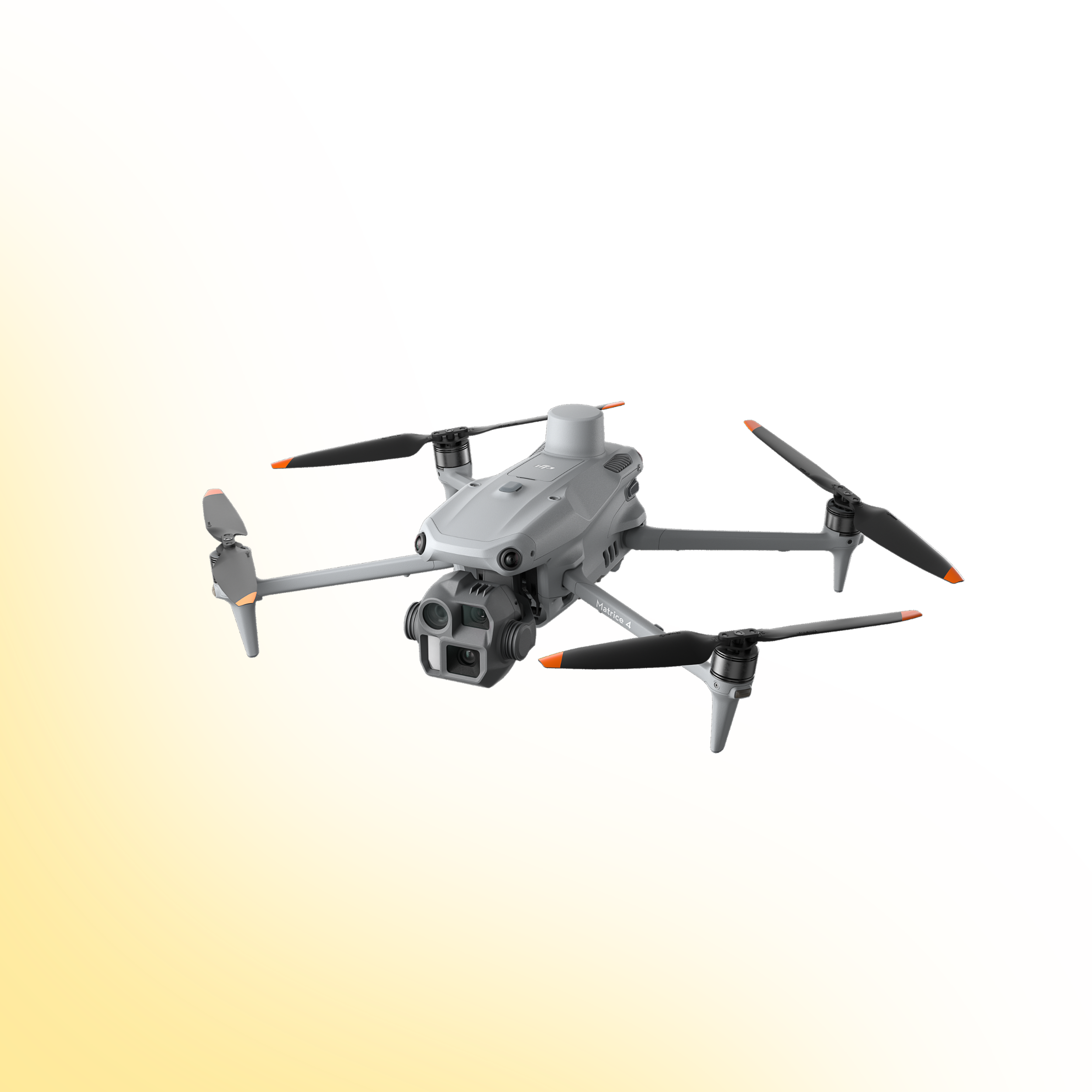
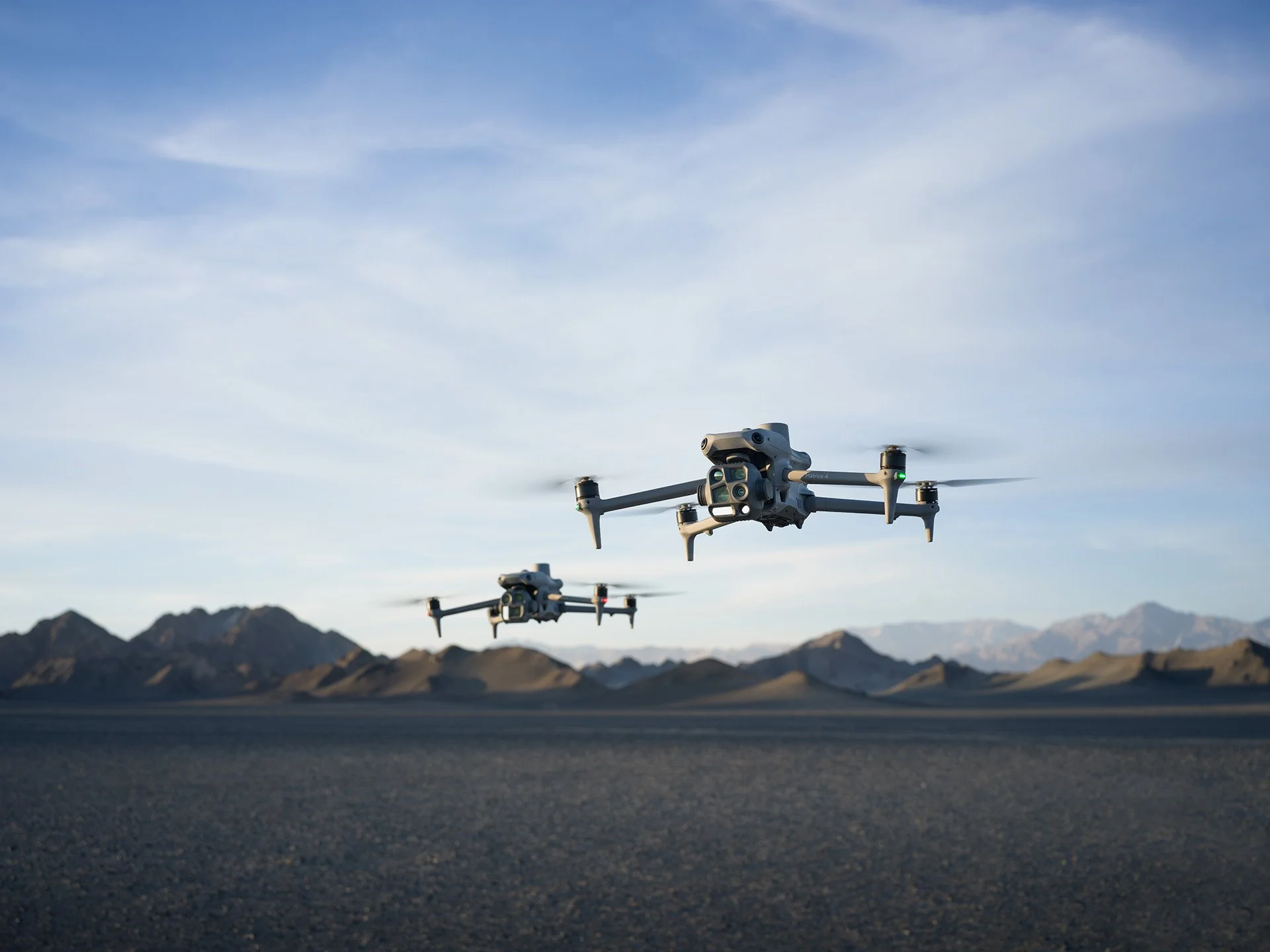
DJI Matrice 4 Series
Two Models. Purpose-Built Performance.
The DJI Matrice 4 Series introduces a new generation of compact, intelligent multi-sensor drones built for enterprise operations. Available in two models, Matrice 4T and Matrice 4E, the platform combines AI-powered detection, precision measurement and advanced imaging into a highly portable form factor.
Designed to deliver professional capability without the size and complexity of larger industrial platforms, the Matrice 4 Series balances performance, efficiency and mobility. From inspection and public safety to high-accuracy surveying and mapping, each model is engineered to support specific operational requirements while maintaining a streamlined, deployment-ready design.
This is intelligent aerial capability, refined for modern enterprise workflows.
Product Overview
The Matrice 4 Series is available in two dedicated configurations:
Matrice 4T – Built for inspection, emergency response, public safety and industrial monitoring.
Matrice 4E – Engineered for high-efficiency surveying, mapping and geospatial applications.
Both models integrate laser range finding, intelligent flight functions, enhanced sensing and AI-powered subject detection to improve operational efficiency and safety.
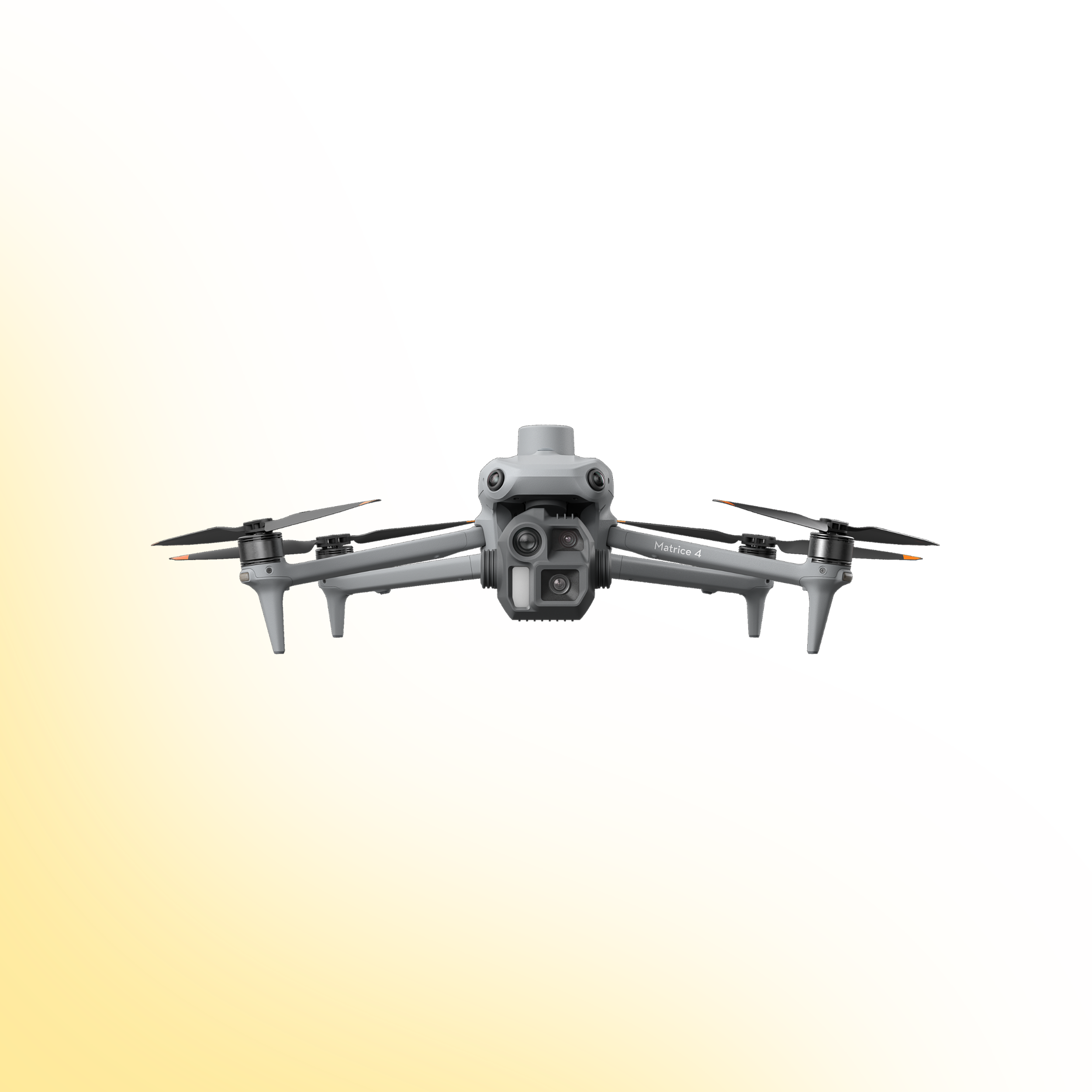
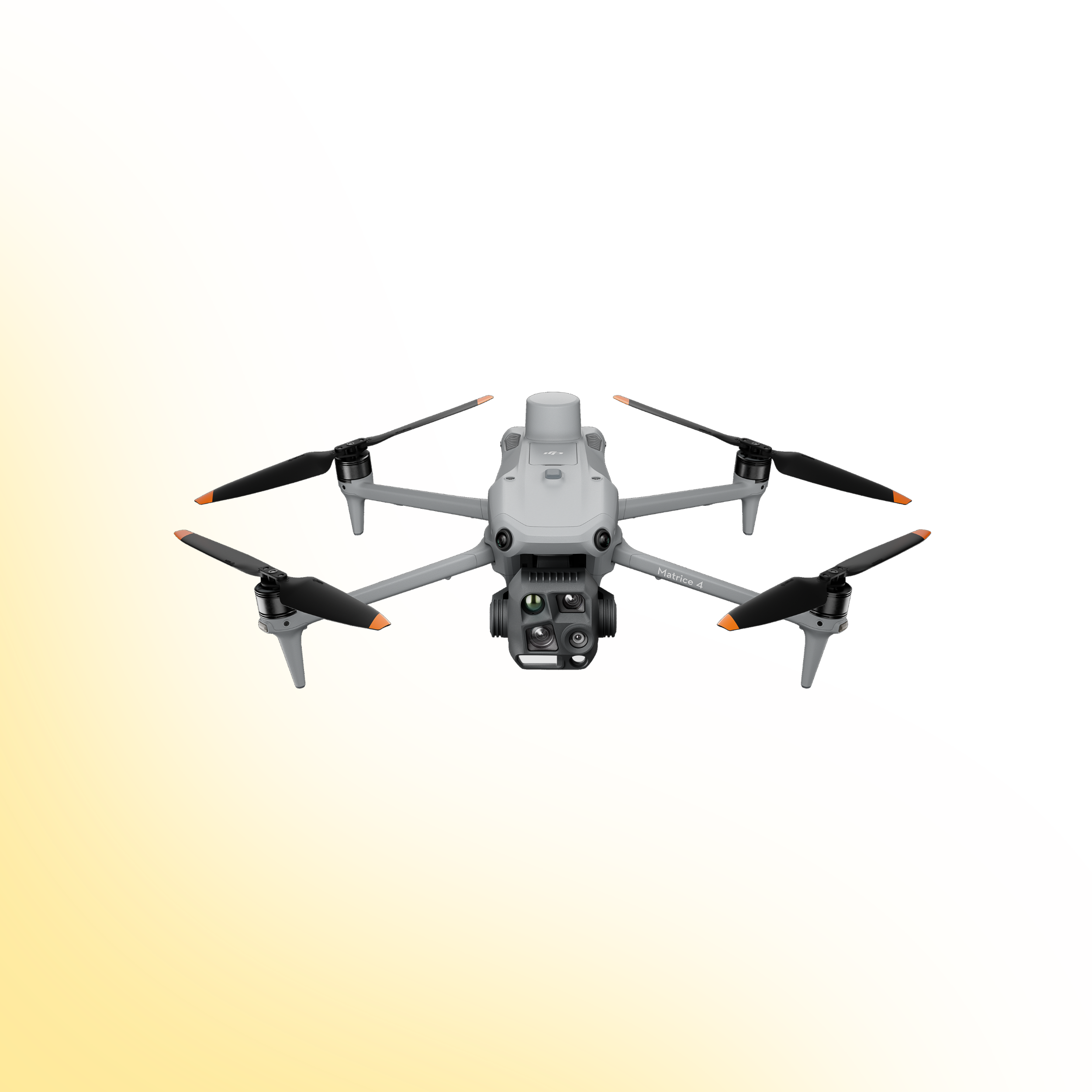
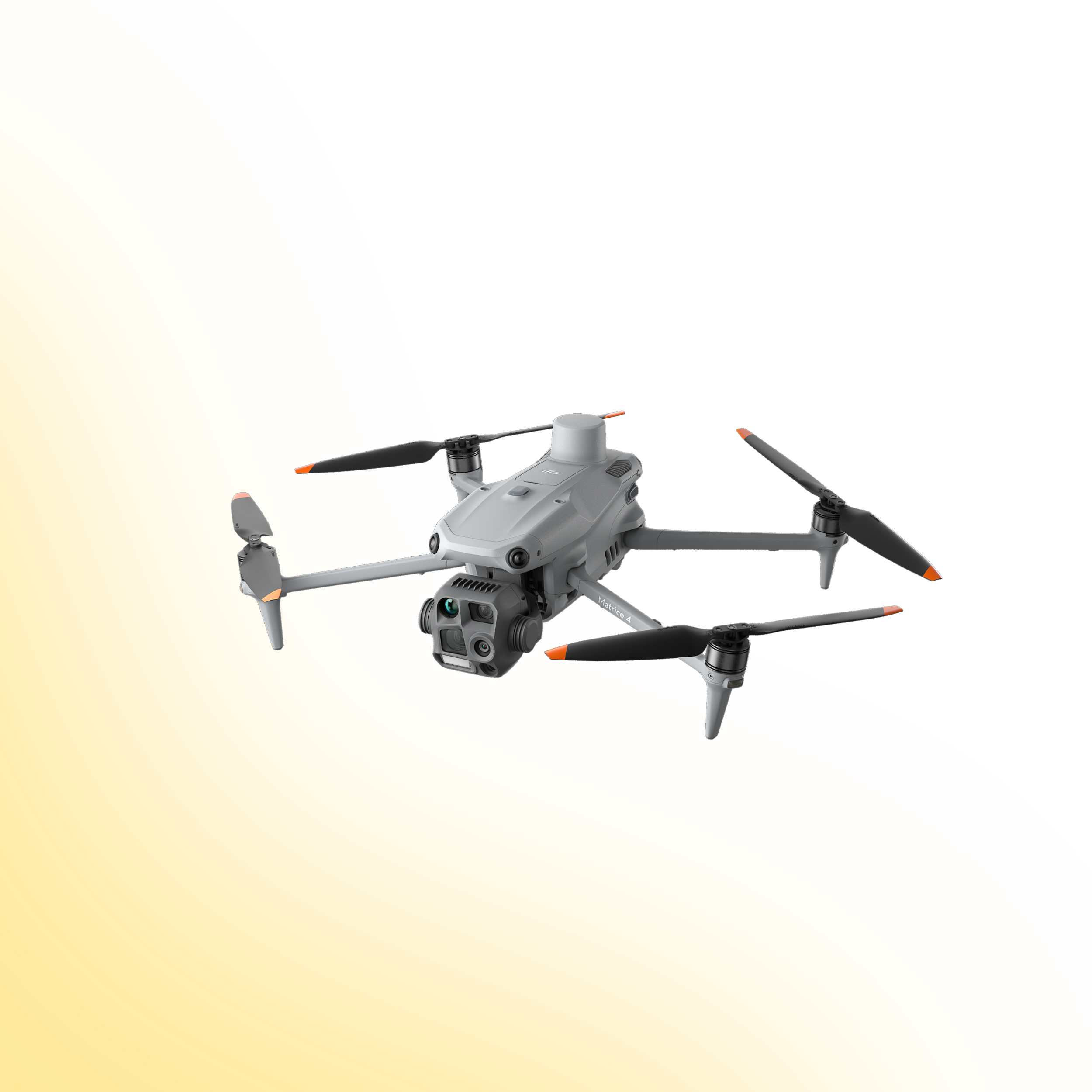
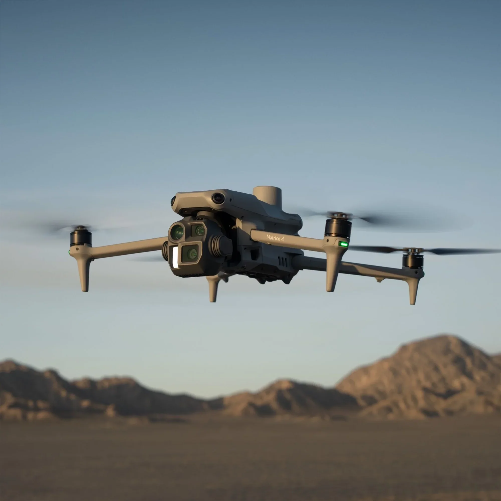
Intelligent Multi-Sensor Architecture
Layered Visual Intelligence

The Matrice 4 Series integrates wide-angle, medium tele and tele cameras to provide layered situational awareness across short, mid and long-range operations. Both models also include an integrated laser range finder for real-time measurement and positional accuracy.
Wide, medium tele and tele imaging for multi-distance inspections
Laser range finder with up to 1800 m measurement range
Thermal imaging and NIR illumination on Matrice 4T
Mechanical shutter wide-angle camera on Matrice 4E
This configuration allows operators to capture contextual, detailed and measurable data in a single deployment.
Low-Light & Night Operations
Built for Challenging Visibility
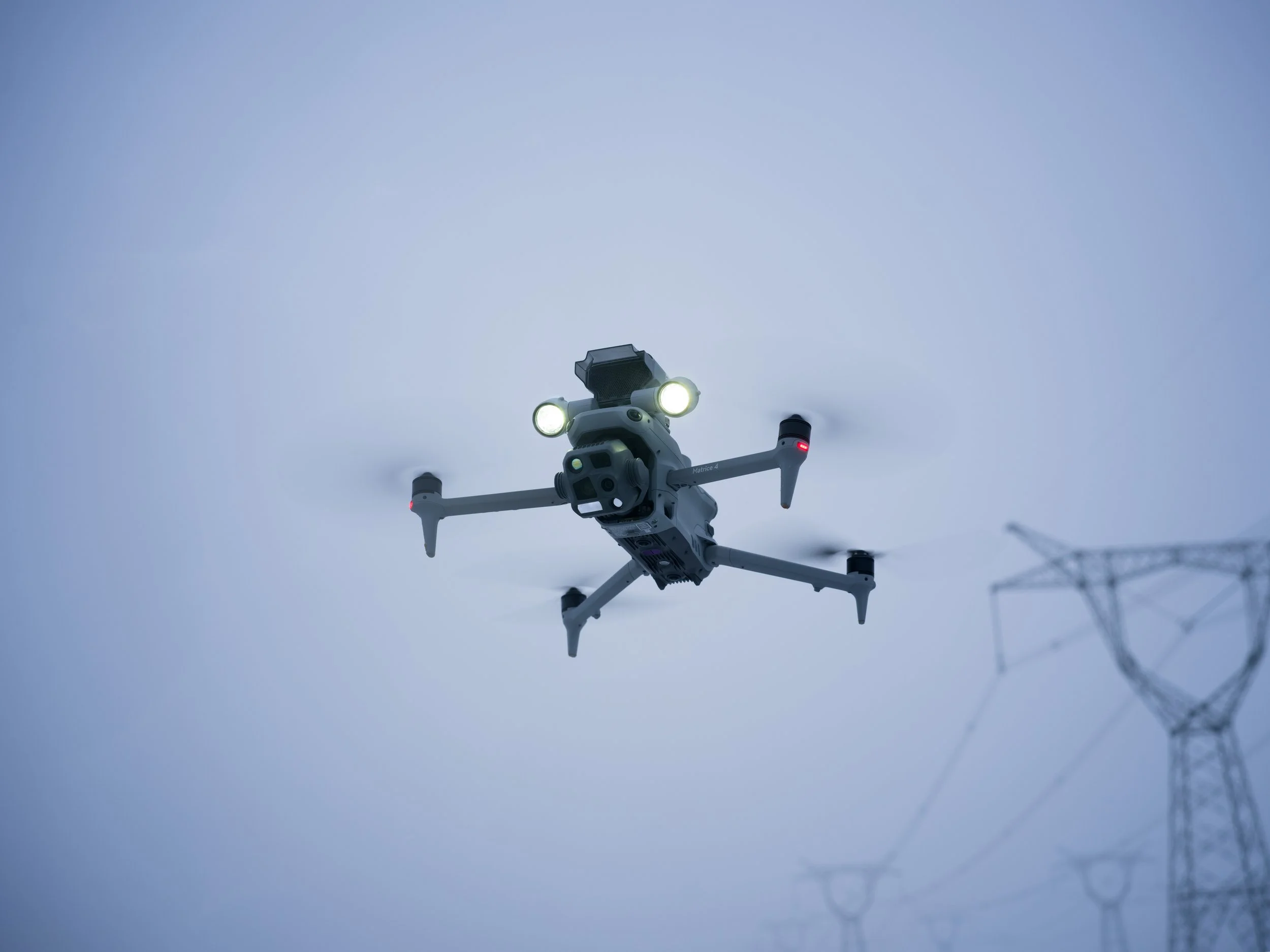
The Matrice 4 Series introduces enhanced night capability for safer operation in low-light environments.
Full-colour night mode with enhanced noise reduction
Infrared auxiliary illumination (Matrice 4T)
Thermal High-Res mode up to 1280 x 1024 (Matrice 4T)
Six low-light fisheye sensors for obstacle awareness
This supports reliable operation during dusk, night and complex urban deployments.
High-Efficiency Mapping (Matrice 4E)
Faster Capture, Improved Accuracy
The Matrice 4E is engineered for efficient aerial surveying and reconstruction workflows.
• 0.5-second interval shooting
• Up to 21 m/s mapping speed
• 5-directional oblique capture
• 3-directional orthophoto capture
• Smart 3D Capture support
• Distortion Correction 2.0
These capabilities reduce flight time, improve reconstruction accuracy and minimise rework.
Advanced Thermal Imaging (Matrice 4T)
Precise Temperature Detection and AnalysiS
The Matrice 4T integrates a 640 x 512 uncooled VOx thermal sensor with support for High-Res Mode up to 1280 x 1024. Each unit undergoes temperature accuracy calibration and includes an onboard temperature sensor for real-time measurement.
640 x 512 thermal resolution
High-Res mode up to 1280 x 1024
Real-time temperature measurement
Calibrated for reliable thermal analysis
Compatible with DTAT 3.0 thermal analysis software
This enables accurate fault detection, heat loss identification, wildfire monitoring and industrial inspection across critical infrastructure environments.
Drone Systems
Advanced aerial systems engineered to expand operational capability, accuracy and mission performance.
DJI Matrice 400
The DJI Matrice 400 is an advanced enterprise drone platform engineered for complex industrial operations. With extended endurance, heavy payload capacity and intelligent sensing systems, it supports inspection, infrastructure, utilities and mission-critical deployments at scale.
DJI Dock 3
The DJI Dock 3 is an autonomous drone system designed for continuous remote inspection and public safety operations. Integrating automated deployment with Matrice 4D or 4TD aircraft, it delivers reliable aerial oversight in demanding environments.
DJI Matrice 4E
The DJI Matrice 4E is a compact mapping drone built for high-accuracy surveying and geospatial workflows. Featuring a mechanical shutter wide-angle camera and advanced capture modes, it enables efficient orthophoto and 3D data collection across construction, mining and infrastructure projects.
DJI Matrice 4T
The DJI Matrice 4T is a compact multi-sensor drone designed for inspection, public safety and emergency response operations. Combining high-resolution zoom, thermal imaging and a laser rangefinder, it delivers actionable visual and temperature data for complex missions in challenging environments.
Payloads
Advanced sensor solutions designed to expand capability, accuracy and mission performance.
DJI Zenmuse L3
The Zenmuse L3 is a high precision LiDAR payload designed for detailed 3D mapping and terrain modelling. It captures dense point cloud data with integrated RGB support, making it ideal for surveying, corridor mapping and infrastructure inspection in complex environments.
DJI Zenmuse P1
The Zenmuse P1 is a full frame photogrammetry payload built for efficient large scale mapping. With high resolution imaging and a mechanical shutter, it delivers accurate 2D and 3D data for construction, land surveying and infrastructure projects.
DJI Zenmuse H30T
The Zenmuse H30T combines high resolution zoom optics with thermal imaging for inspection and public safety operations. It enables operators to detect anomalies, monitor assets and gather visual and thermal data from a safe distance.
DJI Zenmuse L2
The Zenmuse L2 integrates LiDAR scanning with an RGB mapping camera to deliver high accuracy terrain capture and asset modelling. It produces reliable point cloud and colourised data for surveying, infrastructure inspection and corridor mapping operations.
Software
Advanced software platforms designed to transform drone data into accurate insight and operational intelligence.
DJI Terra
DJI Terra is a professional drone mapping platform designed for processing aerial imagery and LiDAR datasets. Supporting photogrammetry reconstruction and terrain modelling, it converts captured drone data into accurate maps, 3D models and measurable outputs for surveying, construction and infrastructure analysis.
DJI FlightHub 2
DJI FlightHub 2 is a cloud based drone operations platform designed for remote fleet management and mission coordination. Integrating real time data streaming, flight planning and team collaboration, it provides centralised control and operational visibility for enterprise drone deployments.
FAQs
-
The series includes two models: Matrice 4T for inspection, public safety and thermal operations, and Matrice 4E for surveying, mapping and geospatial applications.
-
The DJI Matrice 4 Series holds EASA C2 certification.
-
No. The aircraft is not waterproof. Avoid exposure to rain or standing water during operation.
-
Yes. The aircraft supports RTK positioning and integrates with DJI D-RTK 3 for centimetre-level accuracy.
-
The Matrice 4 Series uses the O4 Enterprise transmission system with a maximum range of up to 25 km in optimal, interference-free conditions.
-
Yes. It supports hybrid transmission using the optional DJI Cellular Dongle 2 to improve signal stability in complex environments.
-
Matrice 4T includes thermal imaging and NIR illumination for inspection and emergency response.
Matrice 4E features a mechanical shutter camera and enhanced mapping capabilities for surveying and reconstruction workflows. -
The Matrice 4T features a 640 x 512 thermal sensor and supports High-Res mode up to 1280 x 1024.
-
Yes. Smart 3D Capture is supported on the Matrice 4E for efficient structure modelling and route generation.
-
The Matrice 4E supports 0.5-second interval shooting, 5-directional oblique capture, 3-directional orthophoto capture and distortion correction for improved reconstruction accuracy.
-
Can the Matrice 4 Series operate in low-light environments?
-
The Matrice 4 Series supports DJI Pilot 2, DJI FlightHub 2 and DJI Terra. It is also compatible with SDK integrations.
-
The platform supports Payload SDK, Mobile SDK 5, Cloud API and DJI Terra API for expanded integration and custom development.
-
Yes, dual control is supported for coordinated operations.
-
Yes. DJI Care Enterprise Plus and Extended Warranty options are available, depending on region.
Ready to Upgrade Your Drone Capability?
Speak to our team to discuss pricing, availability and the most suitable configuration for your operational requirements. We can advise on payload selection, regulatory considerations, training and ongoing support to ensure you deploy with confidence.