
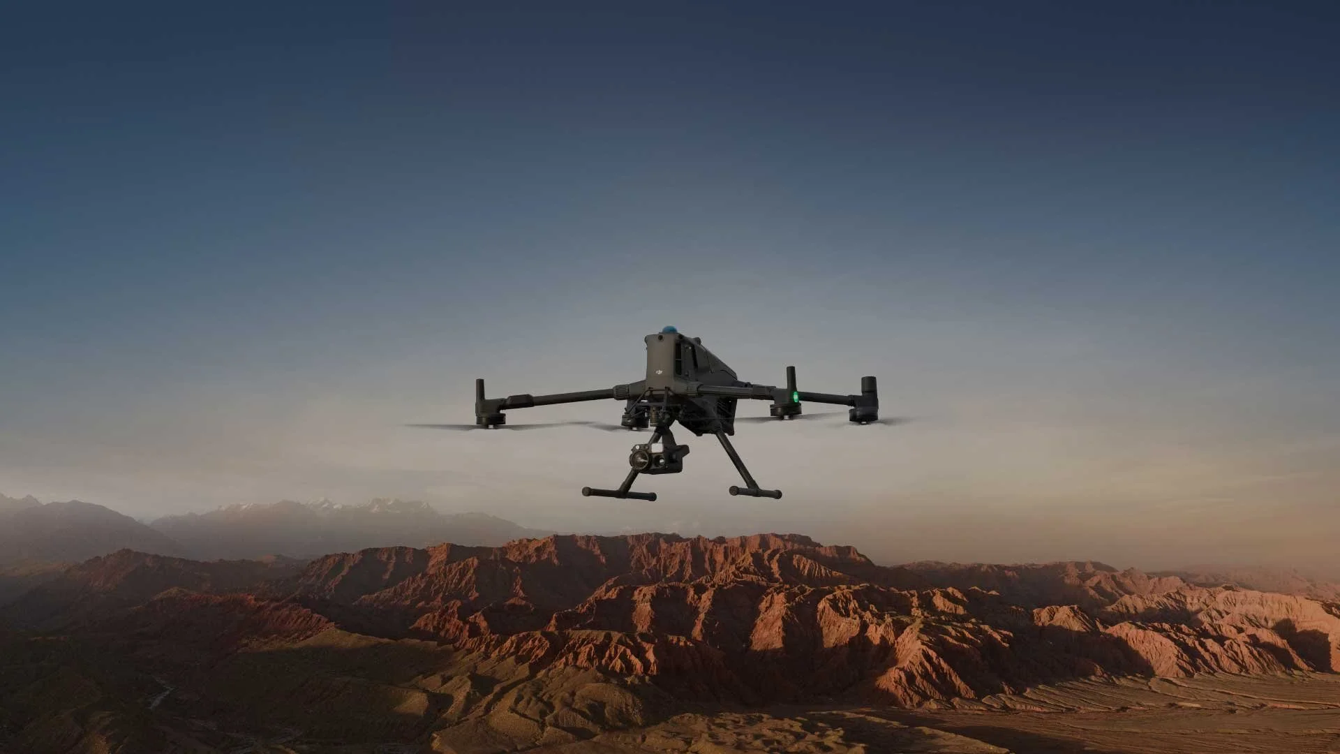


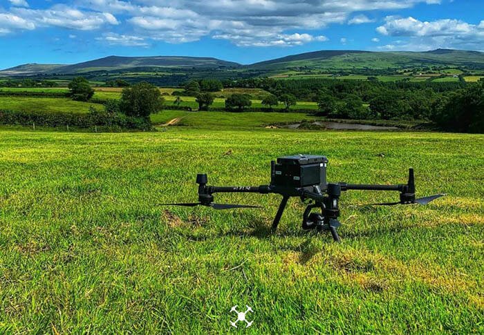
Drone Inspection
Our drone inspections cover offshore wind turbines and communication towers to desert pipelines, buildings, pylons, confined spaces, and all the nuts and bolts that make them.
Our drone inspections are advanced, efficient and save thousands in manual inspection fees, all whilst improving safety.
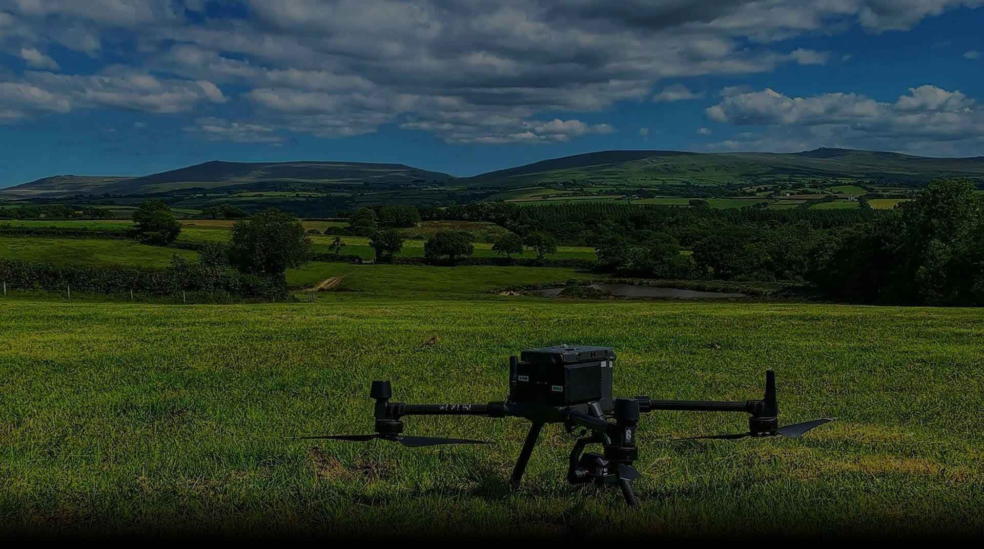
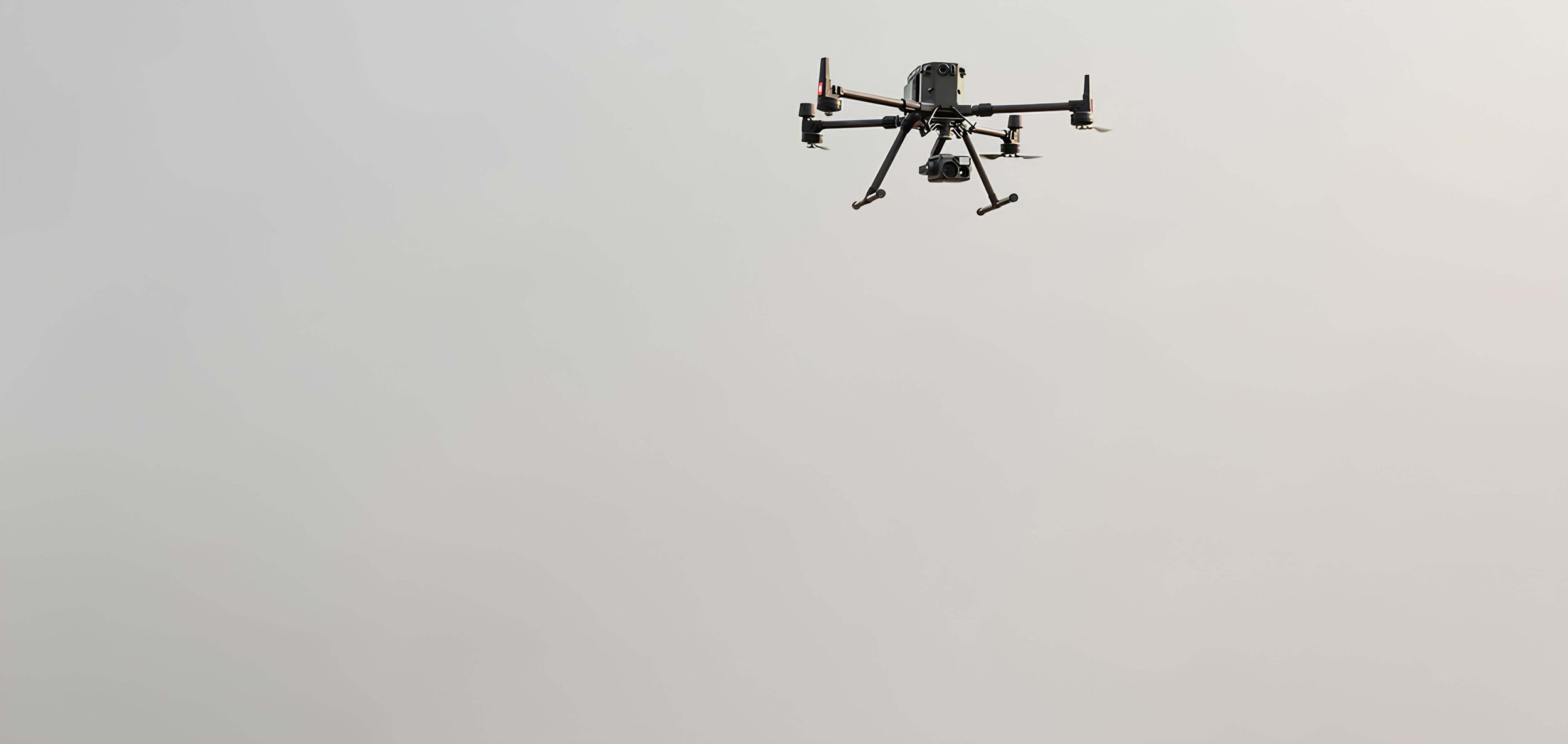
Drone Survey
We use the very latest in RTK and PPK positioning technology onboard our state-of-the-art drones. Our drone surveys are ultra-accurate, proven down to 25mm in x,y,z - and under 1cm per pixel GSD.
We can survey up to 1000ha per day and use our analytical software and tools to generate volumetric calculations accurate to within 5%.
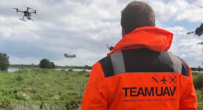
Drone Response
We work with Government Agencies and Emergency Services nationally delivering drone response teams to emergency situations.
We can work completely independently with our own hardware and software and plug directly into your systems, or work to bolster your forces team, delivering secure data as an outside agency.
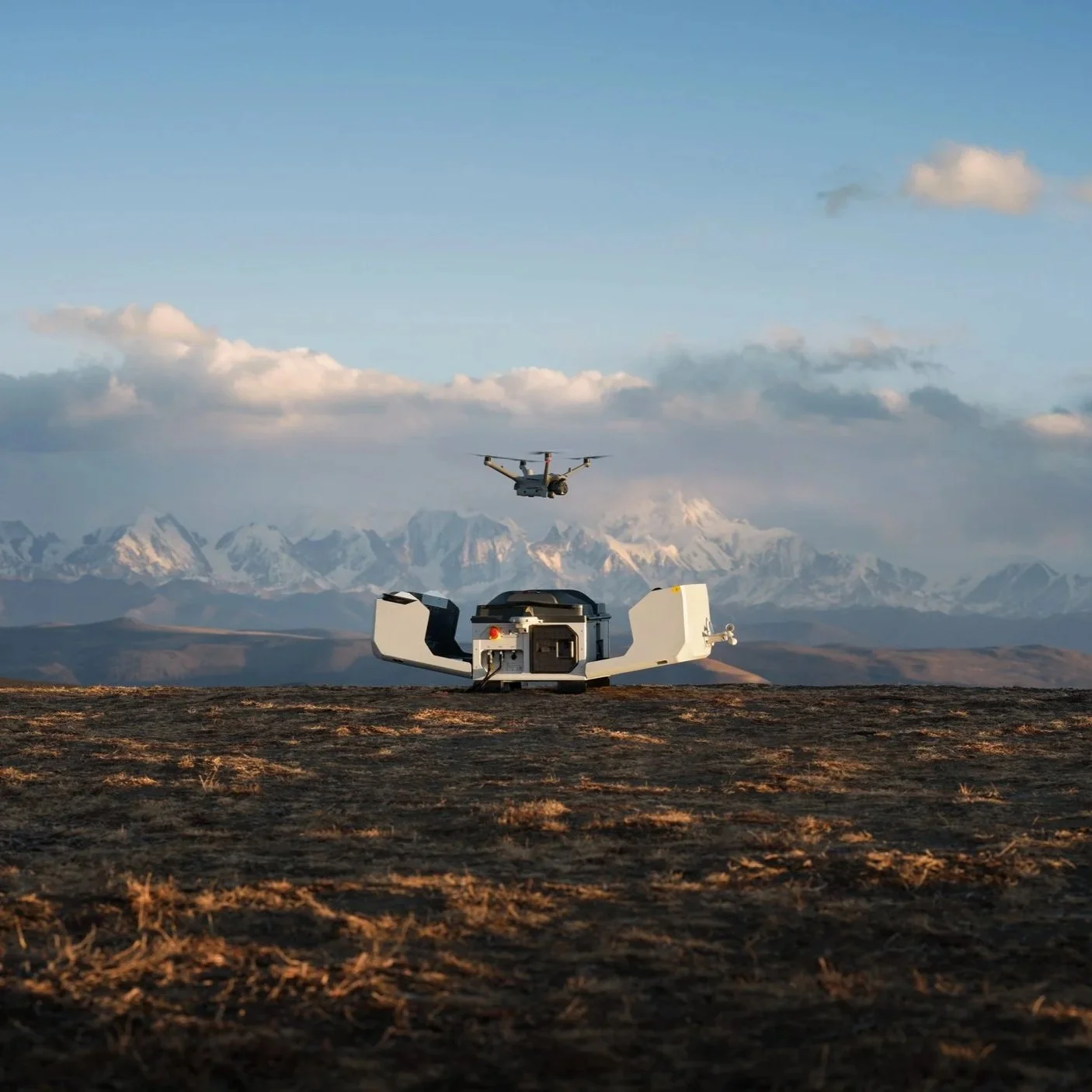
Drone Solutions
We help organisations understand how drones can be deployed within their operations, providing a complete enterprise solution from one of the UK’s most experienced operators.
From hardware and software to training, compliance and official DJI Enterprise supply, we support every stage from setup through to delivery.
What our clients
say about us

★ ★★★★
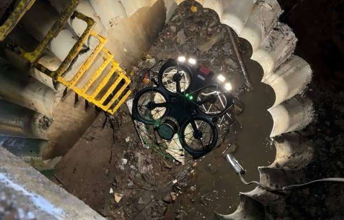
“Team UAV has been a vital partner in enhancing our inspection and survey capabilities at Dŵr Cymru.
Their expertise in conducting confined space drone surveys has revolutionised the way we approach maintenance and inspection of our infrastructure.
The services provided by Team UAV have not only improved our operational efficiency and significantly lowered our costs, but have also played a key role in ensuring the integrity and longevity of our critical infrastructure.
I highly recommend Team UAV for their outstanding confined space drone survey and inspection services.”
Daniel G
Dwr Cymru Welsh Water
★ ★★★★
“Team UAV has delivered an exemplary service for Keyland’s recent project involving land photography and 360 virtual tours of our five key sites. Their professionalism, expertise, and innovative approach have significantly exceeded our expectations.
From the onset, Team UAV’s team demonstrated a deep understanding of our requirements. Their ability to capture high-quality aerial photographs provided us with detailed and comprehensive views of the land, which were crucial for our planning and development strategies.
The clarity and precision of these images have been invaluable in our decision-making processes.”
Luke A
Keyland Developments

★ ★★★★
“At Yorkshire Water, we are always seeking innovative solutions to enhance our operational efficiency and quality of service and we’re hoping our new contract with Team UAV will form an important part of this process. Their drone services will be supporting our approach to infrastructure monitoring, asset and environmental management.
Team UAV's utilisation of cutting-edge drone technology will enable us to conduct more frequent and thorough inspections of our water treatment facilities, reservoirs and other critical infrastructure.
The high-resolution aerial imagery and data they provide will prove highly effective in identifying potential issues proactively, ensuring uninterrupted operational service.”
Simon R
Yorkshire Water