
Digital Twins

Digital Twins Explained
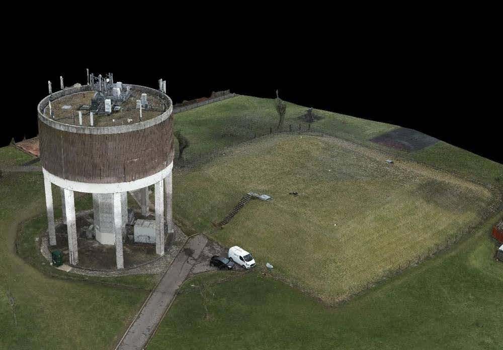
A digital twin is a virtual replica or representation of a physical object, system, or process. In the context of Team UAVs expertise, a digital twin involves creating a detailed and accurate 3D model of real-world assets, structures, or environments.
Point Cloud Generation Explained
Point cloud generation is a process that involves collecting and organising a vast number of 3D data points within a defined space. These data points, often captured using technologies like LiDAR or photogrammetry, create a detailed and dense representation of the surfaces and structures in the real world.
High-Resolution Imaging and Photogrammetry: Our high-resolution cameras capture clean, crisp images, transformed into realistic digital twin models through photogrammetry. This meticulous process aligns, stitches, and georeferenced images, creating ultra-high-resolution dense point clouds accurate to millimetres.
Diverse Applications: Past projects include modelling holiday parks, national infrastructure wastewater treatment sites, flood modelling for towns, flood defences, bridges, historic buildings, construction sites, demolition sites, solar farms, and 3D modelling of large residential and commercial buildings.
Volumetric Calculations and Stockpile Reporting: Our point cloud data allows the creation of digital twin and realistic 3D models of stockpiles, enabling accurate volumetric calculations within 5%. A user-friendly interface facilitates quick sharing of end-of-month stock reports with key stakeholders, ensuring up-to-date information for accounts teams and site managers.
Versatility in Environmental Coverage: Our teams adeptly operate on coasts, mountains, rural and urban areas, construction sites, and ships, demonstrating adaptability to demanding environments.