
Topographical Land Survey
Topographical Land Survey
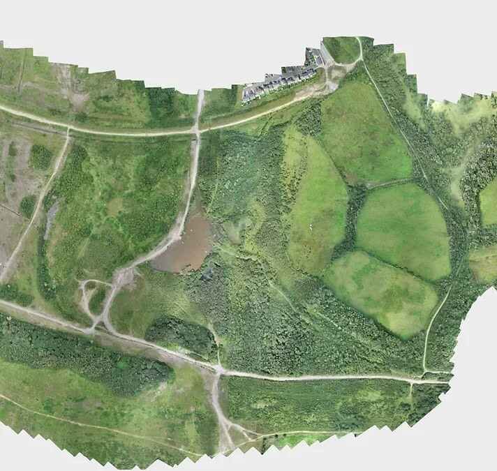
A topographical land survey is a comprehensive mapping process vital for capturing accurate and detailed information about the physical features of a landscape. At Team UAV, we elevate this process using the latest RTK and PPK positioning technology aboard our cutting-edge surveying drones, seamlessly integrating data with precision.
Our surveys, proven to be ultra-accurate down to 25mm in x, y, z, and under 1cm per pixel Ground Sample Distance (GSD), redefine the standards of precision mapping.
Cutting-Edge Technology: Leveraging the latest surveying drones equipped with RTK and PPK technology, our surveys achieve unparalleled accuracy, with results proven down to 25mm in x, y, z, and under 1cm per pixel GSD.

Specialisation in Long Corridor Surveys
We specialise in extensive corridor surveys and large area mapping, with our longest single corridor survey spanning over 60km. Whether mapping tennis courts or areas exceeding 1000 hectares, our fixed-wing and multirotor aircraft ensure optimal results.
Versatility in Terrain Coverage: Operating since 2013, our drone pilots have encountered diverse terrains, surveying everything from new underground water pipelines, construction sites, flood defences, and power lines to beaches, mountains, entire towns, and villages.
Unmatched Experience: With a track record spanning over 10 years, we have successfully executed a myriad of projects, demonstrating expertise in surveying underground structures, monitoring construction sites, and mapping extensive coastal regions, among various other challenging environments.
Precision Mapping Excellence: Our commitment to cutting-edge technology, specialised surveying techniques, and a wealth of experience positions us as the go-to choice for precision mapping. Elevate your surveying experience with a team that brings unmatched accuracy, versatility, and proficiency to every project.