
Safer, Accurate and More Cost Effective Drone Surveys
Award-winning drone surveys from the UK’s most trusted drone service partner - when it comes to surveying the land from the air, we go above and beyond!
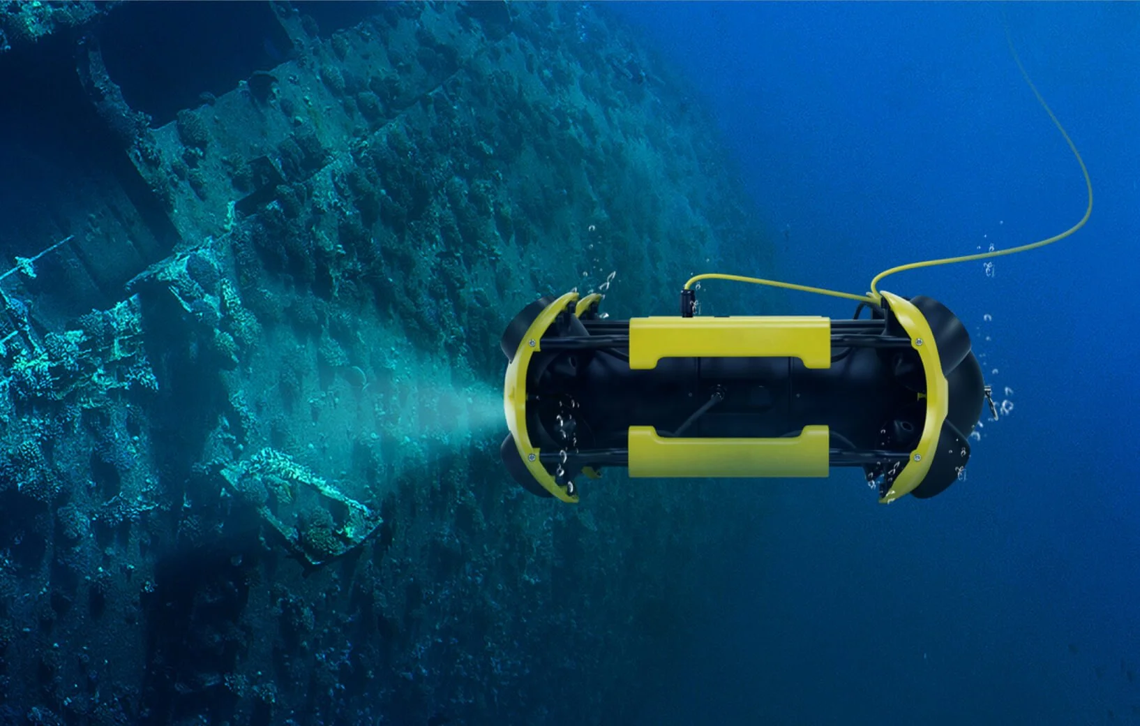
Submersible ROV Survey
Submersible ROV surveys provide a safe and efficient way to capture underwater survey data without the need for diver entry. Using remotely operated vehicles, we deliver high-quality visual information to support asset assessment, maintenance planning, and long-term management of submerged and confined environments.

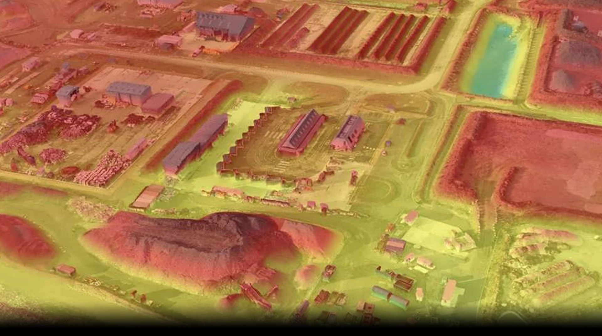
Topographical Land Survey
We use the latest RTK and PPK positioning technology onboard our state-of-the-art surveying drones and ground control points to tie in our data in even tighter. Our drone surveys are ultra-accurate, proven down to 25mm in x,y,z – and under 1cm per pixel GSD.