

Explore our range of payloads designed to help you move forward with confidence, wherever you're headed next.
Explore The Zenmuse L2
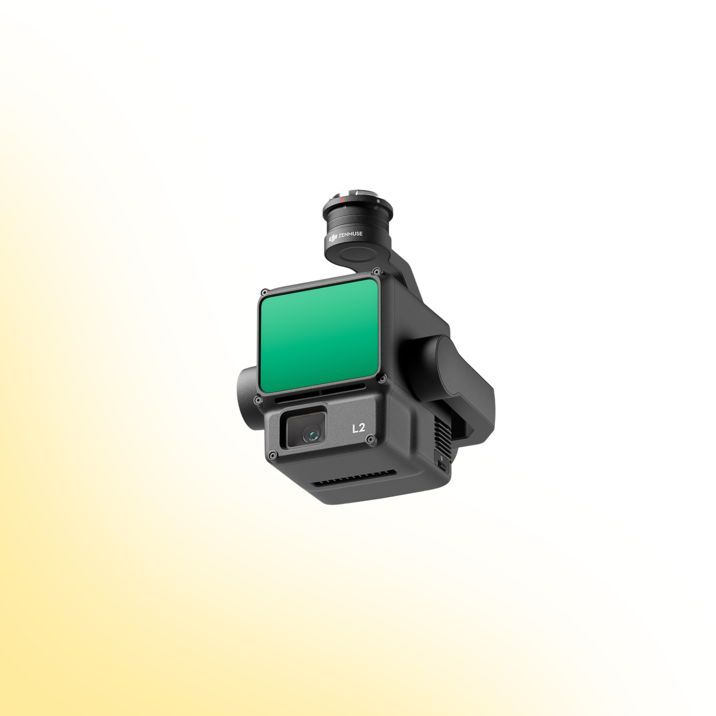
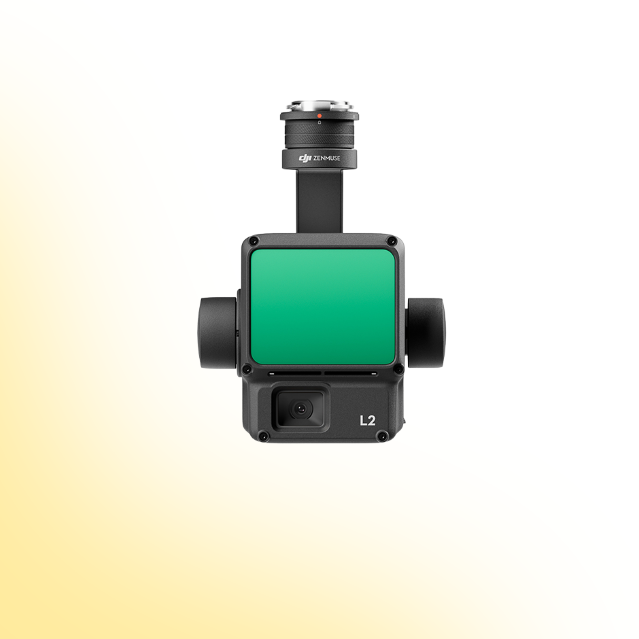
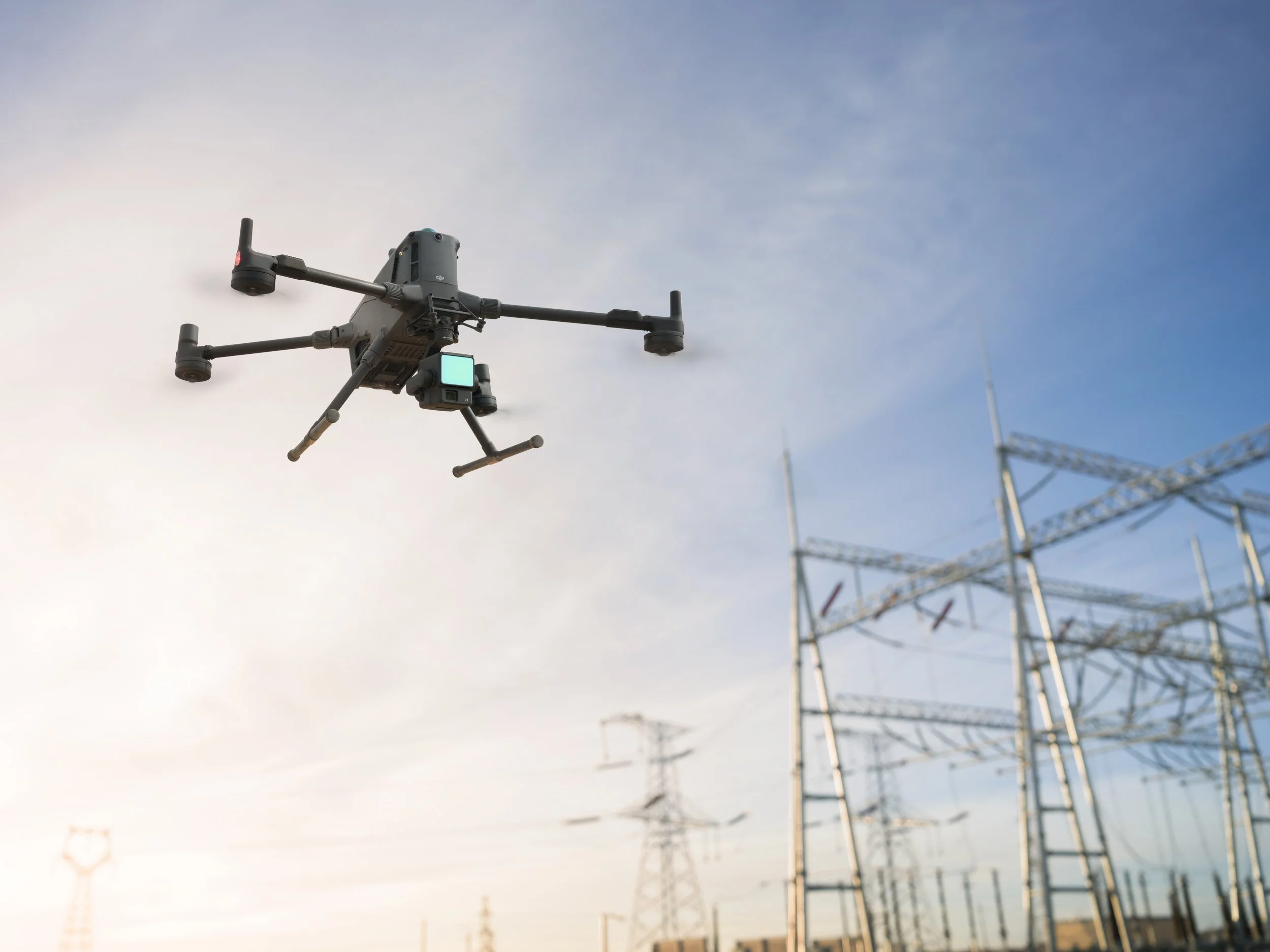
DJI Zenmuse L2
High-Precision LiDAR. Integrated Mapping Performance.
The DJI Zenmuse L2 combines advanced LiDAR scanning with an integrated RGB mapping camera to deliver accurate, efficient 3D data capture for enterprise surveying and inspection operations.
Designed for topographic mapping, corridor surveys and infrastructure modelling, the L2 provides dependable performance, streamlined workflows and survey-grade accuracy in a compact aerial payload.
Product Overview
The Zenmuse L2 integrates frame-based LiDAR technology, a 4/3 CMOS RGB camera and a high-accuracy IMU into a unified mapping system. With long detection range and dense point cloud generation, it enables precise terrain modelling and asset capture across complex environments.
Explore the core capabilities below to understand how the L2 enhances operational efficiency, improves data accuracy and supports professional geospatial workflows.
Precision LiDAR Mapping, Simplified
The Zenmuse L2 is engineered to deliver reliable, high-density point clouds with improved operational efficiency. Combining LiDAR scanning with synchronised RGB imagery and precise inertial measurement, it supports accurate terrain reconstruction and detailed asset modelling.
From topographic surveys and forestry analysis to power line and corridor inspections, the L2 provides consistent, repeatable results across a wide range of enterprise applications.
Drone Systems
Advanced aerial systems engineered to expand operational capability, accuracy and mission performance.
DJI Matrice 4E
The DJI Matrice 4E is a compact mapping drone built for high-accuracy surveying and geospatial workflows. Featuring a mechanical shutter wide-angle camera and advanced capture modes, it enables efficient orthophoto and 3D data collection across construction, mining and infrastructure projects.
DJI Matrice 4T
The DJI Matrice 4T is a compact multi-sensor drone designed for inspection, public safety and emergency response operations. Combining high-resolution zoom, thermal imaging and a laser rangefinder, it delivers actionable visual and temperature data for complex missions in challenging environments.
DJI Matrice 400
The DJI Matrice 400 is an advanced enterprise drone platform engineered for complex industrial operations. With extended endurance, heavy payload capacity and intelligent sensing systems, it supports inspection, infrastructure, utilities and mission-critical deployments at scale.
DJI Dock 3
The DJI Dock 3 is an autonomous drone system designed for continuous remote inspection and public safety operations. Integrating automated deployment with Matrice 4D or 4TD aircraft, it delivers reliable aerial oversight in demanding environments.
Payloads
Advanced sensor solutions designed to expand capability, accuracy and mission performance.
DJI Zenmuse L3
The Zenmuse L3 is a high precision LiDAR payload designed for detailed 3D mapping and terrain modelling. It captures dense point cloud data with integrated RGB support, making it ideal for surveying, corridor mapping and infrastructure inspection in complex environments.
DJI Zenmuse P1
The Zenmuse P1 is a full frame photogrammetry payload built for efficient large scale mapping. With high resolution imaging and a mechanical shutter, it delivers accurate 2D and 3D data for construction, land surveying and infrastructure projects.
DJI Zenmuse H30T
The Zenmuse H30T combines high resolution zoom optics with thermal imaging for inspection and public safety operations. It enables operators to detect anomalies, monitor assets and gather visual and thermal data from a safe distance.
DJI Zenmuse L2
The Zenmuse L2 integrates LiDAR scanning with an RGB mapping camera to deliver high accuracy terrain capture and asset modelling. It produces reliable point cloud and colourised data for surveying, infrastructure inspection and corridor mapping operations.
Software
Advanced software platforms designed to transform drone data into accurate insight and operational intelligence.
DJI Terra
DJI Terra is a professional drone mapping platform designed for processing aerial imagery and LiDAR datasets. Supporting photogrammetry reconstruction and terrain modelling, it converts captured drone data into accurate maps, 3D models and measurable outputs for surveying, construction and infrastructure analysis.
DJI FlightHub 2
DJI FlightHub 2 is a cloud based drone operations platform designed for remote fleet management and mission coordination. Integrating real time data streaming, flight planning and team collaboration, it provides centralised control and operational visibility for enterprise drone deployments.
FAQs
-
The Zenmuse L2 is compatible with the DJI Matrice 300 RTK and Matrice 350 RTK platforms.
-
The L2 provides centimetre-level accuracy when used with RTK positioning and proper workflow settings, supporting professional surveying and mapping applications.
-
The Zenmuse L2 offers a detection range of up to approximately 450 metres, depending on reflectivity and environmental conditions.
-
Yes. The L2 integrates a 4/3 CMOS 20 MP RGB camera to support colourised point clouds and mapping workflows.
-
The L2 uses a frame-based LiDAR system capable of generating high-density point clouds for accurate terrain modelling and infrastructure mapping.
-
The L2 is designed for topographic mapping, corridor inspection, forestry, infrastructure surveys and terrain modelling.
-
Zenmuse L2 data can be processed using DJI Terra for point cloud generation, reconstruction and mapping workflows.
-
The L2 features an integrated high-accuracy IMU that does not require extended warm-up time, improving operational efficiency in the field.
Speak to our team to discuss pricing, availability and the most suitable configuration for your operational requirements. We can advise on payload selection, regulatory considerations, training and ongoing support to ensure you deploy with confidence.