What are the different types of drone surveys?
There are several types of drone surveys, and the right one depends on what the client needs to understand about a site or asset. Some drone surveys are used for visual records, while others are used to create mapping outputs, 3D models, point clouds, terrain data or volume calculations.
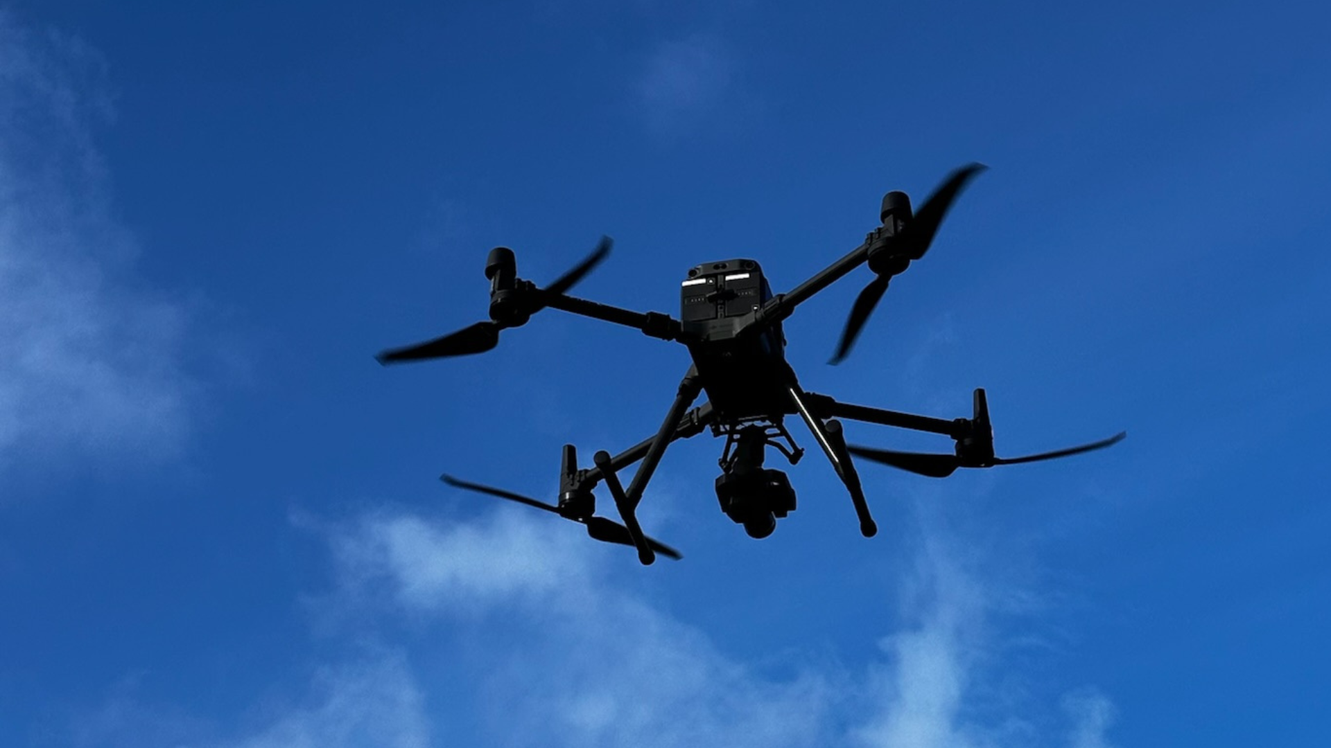
The best type of drone survey is not always the most technical one. It is the one that gives the client the right data for the job.
Drone surveys can be visual, mapping-based, LiDAR-based or inspection-focused.
Photogrammetry is often used to create maps, models and visual survey outputs.
LiDAR can support point clouds, terrain data and more complex survey environments.
Volumetric surveys can measure stockpiles, earthworks or material quantities.
The right survey type depends on the site, required outputs and how the data will be used.
What does this mean?
A drone survey is a broad term. It does not always mean the same thing on every project.
For one client, a drone survey may mean a set of high-resolution images showing the condition of a roof or structure. For another, it may mean an orthomosaic map, a point cloud, a 3D model, a digital terrain model or a volume calculation.
Common types of drone surveys include:
visual drone surveys
photogrammetry surveys
LiDAR drone surveys
topographic drone surveys
point cloud surveys
volumetric surveys
construction progress surveys
roof and building surveys
infrastructure and asset surveys
thermal drone surveys
Each survey type has a different purpose, and each one may require a different approach to capture, processing and delivery.
Why does it matter?
Choosing the right type of drone survey matters because the final data needs to support the client’s decision.
A visual survey may be suitable for condition records, inspection planning or maintenance review. A photogrammetry survey may be better for mapping, site records and 3D models. A LiDAR survey may be more suitable where terrain, vegetation, complex structures or detailed point cloud data are required.
If the wrong survey type is chosen, the output may look useful but fail to meet the project requirement.
This is why the required deliverables should be agreed before the drone goes to site.
Team UAV Insight
At Team UAV, we start by understanding what the client needs the survey to achieve.
That means looking at the site, the purpose of the work, the required outputs and how the data will be used afterwards. From there, we can recommend the most suitable survey approach, whether that is visual inspection, photogrammetry, LiDAR, mapping, volumetric analysis or a combined workflow.
Our focus is not simply capturing data from the air. It is providing useful information that supports planning, inspection, maintenance, measurement or asset management.
Speak to Team UAV
Team UAV provides drone survey services for construction, infrastructure, utilities, industrial sites and complex environments.
Get in touch with our team to discuss your site, required outputs and project timescales.
FAQS
-
Photogrammetry and visual drone surveys are commonly used because they can support mapping, inspection, progress records and 3D outputs. The right choice depends on the project.
-
Not always. LiDAR and photogrammetry are suited to different requirements. LiDAR can be useful for terrain and point cloud data, while photogrammetry can be useful for imagery, mapping and 3D modelling.
-
It depends on the site, the level of detail required, the deliverables needed and how the data will be used. A drone survey provider should help define this before the work begins.