How long does a drone survey take?
A drone survey can take anywhere from a short site visit to several days of capture and processing, depending on the size of the site, the deliverables required and the level of accuracy needed.
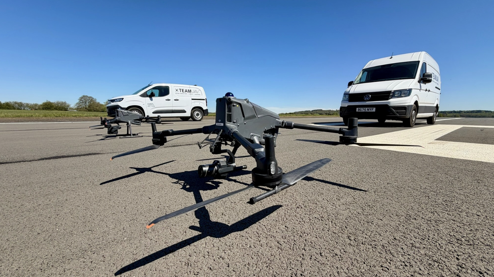
The flight itself is only one part of the process. Planning, site assessment, data capture, processing, quality checks and delivery of the final outputs all affect the overall timescale.
A simple drone survey may be captured in a single site visit.
Larger or more complex sites may need more time on site.
Processing can take longer than the flight itself.
LiDAR, photogrammetry, ground control and technical outputs affect timescales.
Weather, airspace, access and site conditions can also impact delivery.
What does this mean?
When people ask how long a drone survey takes, they often mean the flying time.
In reality, a drone survey includes several stages. The team needs to understand the site, plan the operation, assess risks, capture the data, process the outputs and check that the final deliverables are suitable for the client.
For a simple visual survey, the work may be relatively quick. For a detailed survey requiring point clouds, orthomosaics, 3D models, terrain data, contours or volume calculations, the processing and quality checks can take longer.
Why does it matter?
Timescale matters because drone survey data is often needed to support live projects.
Construction teams may need progress records. Utilities may need asset information. Engineers may need survey outputs for planning or design. Asset managers may need inspection data before making maintenance decisions.
If the timescale is not understood at the start, it can delay the wider project.
The best approach is to agree the required outputs before the survey takes place, so the capture and processing workflow is planned properly.
Team UAV Insight
At Team UAV, we plan drone surveys around the final deliverable, not just the flight.
Before going to site, we look at what the client needs, how accurate the data needs to be, what outputs are required and how quickly the information is needed.
That allows us to choose the right aircraft, payload, flight plan and processing workflow. Whether the project involves photogrammetry, LiDAR, inspection imagery or a combined approach, the aim is to provide usable data within a realistic timescale.
Speak to Team UAV
Team UAV provides drone survey services for construction, infrastructure, utilities, industrial sites and complex environments.
Get in touch with our team to discuss your site, required outputs and project timescales.
FAQS
-
Yes, some drone surveys can be captured in one day, especially smaller or simpler sites. More complex surveys may require additional capture, processing and quality checks.
-
Weather, access, airspace restrictions, site conditions, ground control requirements, data processing and changes to the required deliverables can all affect timescales.
-
It depends on the project. LiDAR may require specialist processing and data handling, while photogrammetry can also take time depending on the number of images and required outputs.