What is the difference between a drone survey and a land survey?
A drone survey captures data from the air using a drone, while a land survey is carried out from the ground using survey equipment. Both can support mapping, measurement and site understanding, but they are not always used for the same purpose.
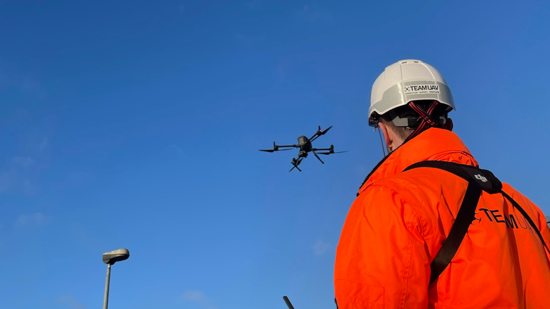
Typical applications include construction logistics, emergency response, utility sites, remote infrastructure, industrial operations and delivery to hard-to-reach locations.
A drone survey captures aerial data from above the site.
A land survey captures measurements from ground-based equipment.
Drone surveys are useful for large areas, difficult access sites and visual context.
Land surveys are often needed for precise ground-level measurements.
Some projects benefit from combining both methods.
What does this mean?
A drone survey uses aerial imagery, LiDAR or other sensors to capture data across a site. This data can then be processed into outputs such as orthomosaics, point clouds, 3D models, terrain data and visual inspection records.
A land survey is carried out from the ground using equipment such as total stations, GNSS receivers or laser scanners. It is often used where precise ground control, boundary information, setting out or detailed measured survey data is required.
The difference is not simply “drone versus traditional”. It is about choosing the right method for the job.
Why does it matter?
Many sites have logistics problems that are not solved easily by standard vehicles or manual access.
A heavy lift drone could help where routes are slow, access is restricted, terrain is difficult or urgent delivery is needed. This does not mean it replaces all existing logistics, but it can provide another option for specific tasks.
For asset owners and operators, the key benefit is getting the right item to the right place more efficiently when the conditions make sense.
Team UAV Insight
At Team UAV, we do not treat drone surveys as a replacement for every type of survey.
We look at what the client actually needs to achieve, then recommend the right capture method. For some projects, a drone survey provides the data required. For others, ground control, land survey input or a combined workflow may be needed.
Our focus is on providing usable data, not just aerial imagery. That means thinking about accuracy, outputs, processing, site constraints and how the final information will support the client’s next decision.
Speak to Team UAV
Team UAV provides drone survey services for construction, infrastructure, utilities, industrial sites and complex environments.
Get in touch with our team to discuss whether a drone survey, land survey input or combined approach is right for your project.
FAQS
-
No. A drone survey captures aerial data from above the site, while a land survey captures ground-based measurements. They can support similar projects, but they are not always interchangeable.
-
Sometimes, but not always. It depends on the required accuracy, deliverables, site conditions and how the data will be used.
-
A drone survey is useful for large sites, difficult access areas, progress monitoring, mapping, visual records, terrain data, point clouds and asset inspection.