What is DJI Zenmuse L3 used for?
DJI Zenmuse L3 is an aerial LiDAR payload used for capturing accurate 3D survey data from a drone. It is designed for geospatial work, infrastructure surveys, corridor mapping, terrain modelling and projects where dense point cloud data is required.
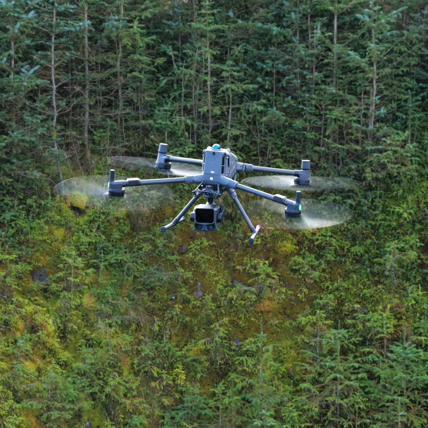
DJI describes Zenmuse L3 as a long-range, high-accuracy aerial LiDAR system with dual 100MP RGB mapping cameras and a high-precision POS system. DJI also lists detection ranges up to 950 m at 10 percent reflectivity under specified test conditions.
DJI Zenmuse L3 is used for aerial LiDAR surveys.
It captures 3D point cloud data from the air.
It is useful for terrain, infrastructure, corridors and asset mapping.
It can support large-scale geospatial data capture.
It is designed for use with DJI Matrice 400.
What does this mean?
LiDAR uses laser measurements to create 3D data. When mounted to a drone, a payload such as Zenmuse L3 can capture detailed information across land, infrastructure and assets from above.
The output is usually a point cloud, which can then be used for terrain modelling, measurements, classification, design inputs, asset records and digital twin workflows.
Zenmuse L3 is especially relevant where the client needs more than images. It is for projects where shape, elevation, structure and measurable 3D information matter.
Why does it matter?
For survey and infrastructure teams, high-quality point cloud data can support better decisions.
Drone LiDAR can be useful across large or complex sites, including utilities, rail corridors, highways, reservoirs, embankments, vegetation-heavy areas and industrial environments. It can help capture data that would be slower or more difficult to collect using only ground-based methods.
It can also be combined with imagery to create outputs that are both measurable and visually useful.
Team UAV Insight
At Team UAV, Zenmuse L3 sits naturally within our survey and data capture work.
The payload is important, but the workflow around it matters just as much. Good LiDAR data depends on the right flight planning, control, processing, classification and deliverable format.
We use enterprise drone systems in live survey environments, which means we understand how to plan the capture around the output the client actually needs.
Speak to Team UAV
Team UAV supplies and operates DJI Enterprise survey systems, including LiDAR and photogrammetry payloads.
Get in touch with our team to discuss whether Zenmuse L3 is suitable for your project.
FAQS
-
Zenmuse L3 is primarily a LiDAR payload, but it also includes RGB mapping cameras. For dedicated photogrammetry projects, a payload such as Zenmuse P1 may be more suitable depending on the requirement.
-
It produces LiDAR point cloud data, which can support terrain models, measurements, classifications, contours and other survey outputs.
-
No. It is powerful, but not every project needs LiDAR. The right payload depends on the site, deliverables, accuracy requirements and budget.