What is DJI Zenmuse P1 used for?
DJI Zenmuse P1 is used for aerial photogrammetry, mapping and high-resolution survey work. It captures detailed imagery from a drone and supports outputs such as orthomosaics, 3D models, point clouds and measurable site records.
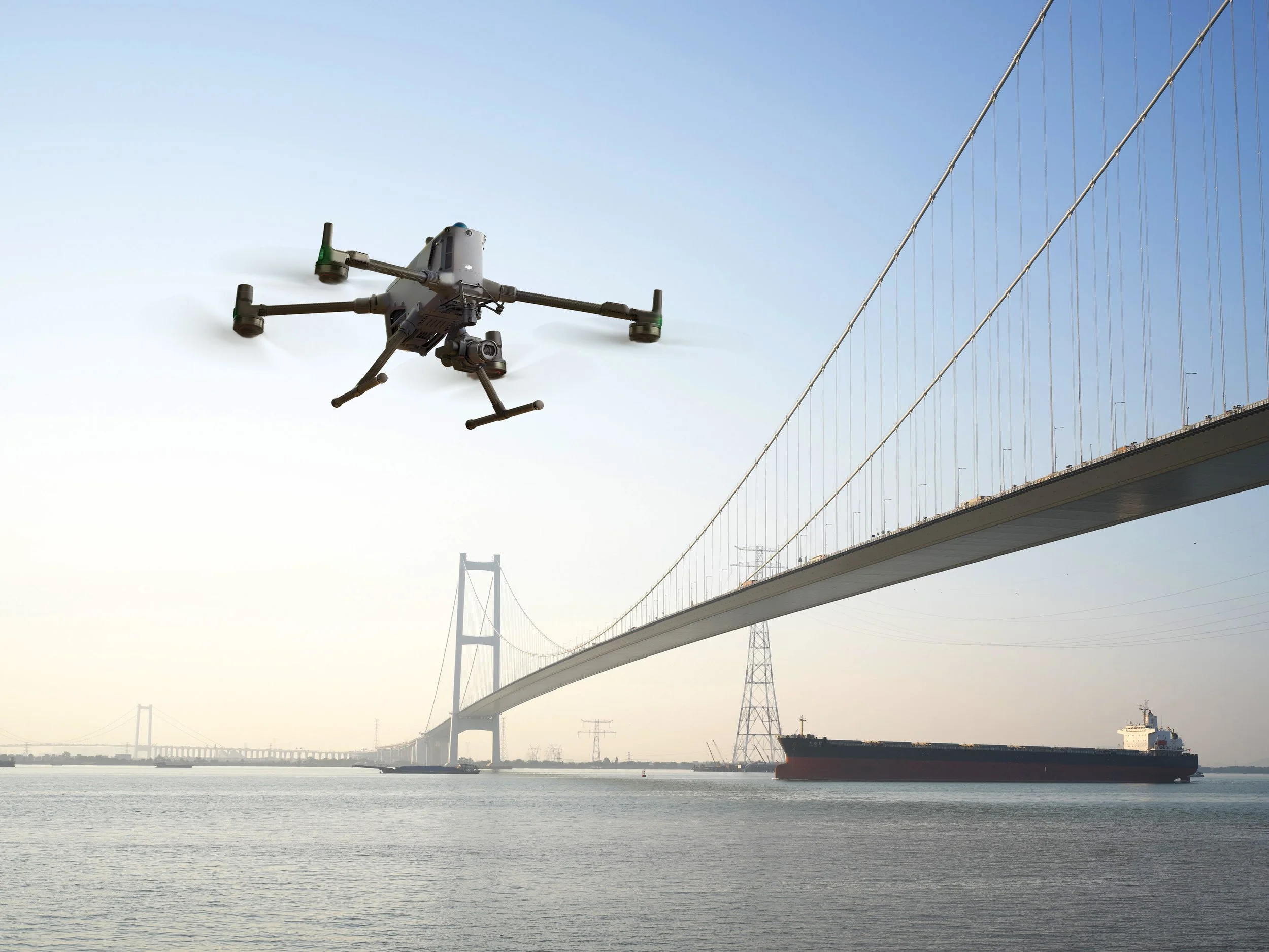
DJI describes Zenmuse P1 as integrating a full-frame sensor with interchangeable fixed-focus lenses on a 3-axis stabilised gimbal, designed for photogrammetry missions. DJI also lists a 45MP full-frame sensor, smart oblique capture and a mechanical global shutter.
DJI Zenmuse P1 is used for drone photogrammetry.
It captures high-resolution aerial imagery.
It supports mapping, modelling and survey deliverables.
It is useful for construction, infrastructure, land and asset surveys.
It is suited to projects where visual detail and measurable outputs matter.
What does this mean?
Photogrammetry works by capturing overlapping images and processing them into measurable outputs.
With Zenmuse P1, the drone captures a planned sequence of high-resolution images. These images can then be processed into orthomosaics, 3D models, point clouds, surface models and other survey deliverables.
It is particularly useful where clients need clear visual data as well as measurable outputs.
Why does it matter?
Many clients need data that is both accurate and easy to understand.
A point cloud may be useful for technical teams, but high-resolution imagery can help site teams, project managers and stakeholders quickly understand what is happening on site.
Zenmuse P1 can support construction progress records, land surveys, building surveys, infrastructure mapping, heritage work, stockpile surveys and visual asset records.
Team UAV Insight
At Team UAV, we use photogrammetry where the client needs strong visual outputs and measurable site data.
The P1 is not just about taking clear photographs. The quality of the final deliverable depends on flight height, image overlap, control, lighting, processing and how the client needs to use the outputs.
Because we operate this type of equipment in live projects, we can advise when photogrammetry is the right choice and when LiDAR or a combined workflow may be more suitable.
Speak to Team UAV
Team UAV provides drone photogrammetry and DJI Enterprise equipment support for survey, inspection and mapping projects.
Get in touch with our team to discuss whether Zenmuse P1 is right for your requirements.
FAQS
-
No. Zenmuse P1 is a photogrammetry payload. For LiDAR data, a payload such as Zenmuse L3 or L2 may be more suitable.
-
It can support orthomosaics, 3D models, point clouds, DSMs, visual records and other photogrammetry-based survey outputs.
-
Not directly. P1 and L3 do different jobs. P1 is best suited to high-resolution imagery and photogrammetry, while L3 is used for LiDAR point cloud capture.