How much does drone mapping cost?
Drone mapping cost depends on the size of the site, the type of data required, the level of accuracy needed and the amount of processing involved. A simple mapping project will usually cost less than a detailed survey requiring ground control, technical outputs and client-ready deliverables.
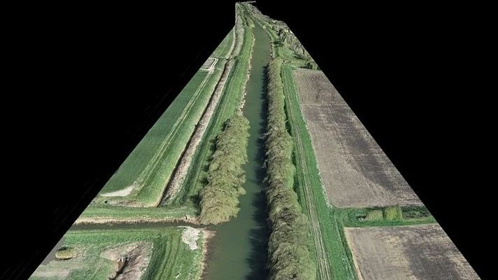
The final cost should be based on what the mapping data needs to achieve.
Drone mapping cost depends on site area, accuracy and deliverables.
Larger or more complex sites usually require more flight time and processing.
Orthomosaics, 3D models, point clouds and terrain outputs all affect cost.
Ground control may be needed where higher accuracy is required.
The right mapping method depends on how the client will use the data.
What does this mean?
Drone mapping uses aerial data to create useful outputs such as orthomosaics, 3D models, point clouds, DSMs, DTMs, contours or volumetric information.
The drone flight is only one part of the process. Data capture, image overlap, ground control, processing, checking and formatting the deliverables all influence the cost.
For example, a site progress map may have different requirements to a topographic survey, earthworks calculation or engineering-focused deliverable.
Why does it matter?
Drone mapping can give project teams a clear and measurable view of a site.
It can support planning, progress tracking, asset records, measurements, design review, volume calculations and stakeholder reporting. But the value depends on whether the outputs are suitable for the task.
A low-cost map may be useful for visual context, but it may not be suitable for measurement or technical use if accuracy and deliverables are not specified properly.
Team UAV Insight
At Team UAV, drone mapping is planned around the final output.
Before carrying out the work, we consider the site, required accuracy, coordinate system, ground control, payload choice and deliverables. That helps us decide whether the project is best suited to photogrammetry, LiDAR or a combined approach.
Our focus is on providing mapping data that clients can actually use, whether that is for construction, utilities, infrastructure, industrial sites or asset management.
Speak to Team UAV
Team UAV provides drone mapping services for construction, infrastructure, utilities and industrial environments.
Get in touch with our team to discuss your site and the mapping outputs you need.
FAQS
-
It depends on the site and the required outputs. Drone mapping can be efficient for larger areas or difficult access sites, but it does not replace every type of traditional survey.
-
Common outputs include orthomosaics, 3D models, point clouds, DSMs, DTMs, contours, volume calculations and visual site records.
-
Yes. Site size can affect flight time, data volume, processing time and the complexity of the final deliverables.