How can drones support construction projects?
Drones can support construction projects by giving teams regular visibility of site progress, changing conditions, stockpiles, access routes, earthworks and key project milestones. They can be used for surveys, mapping, inspections, progress records, site planning, monitoring and stakeholder reporting.
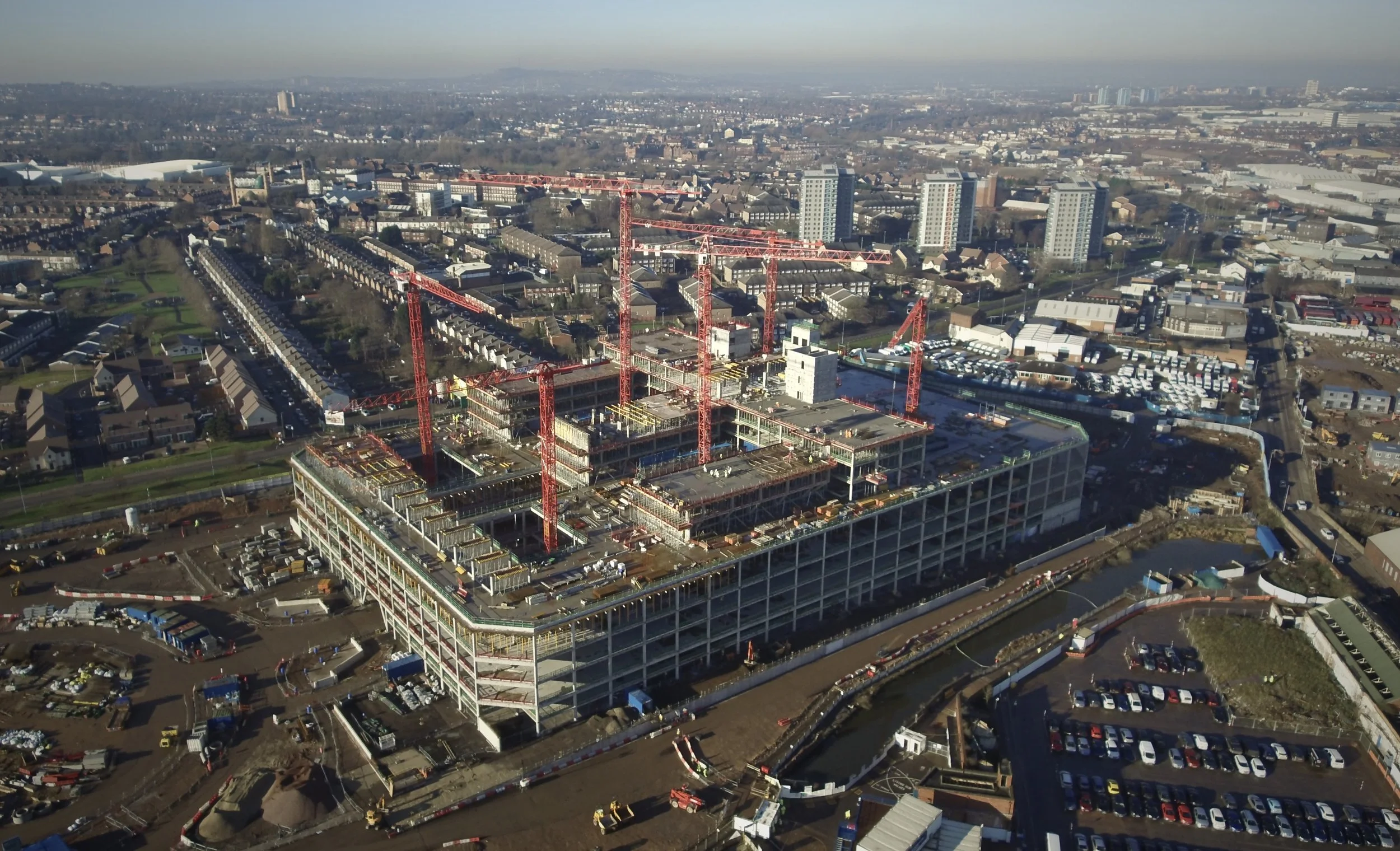
For construction teams, the value is not just aerial imagery. It is having reliable site information that helps improve planning, communication and decision-making as the project develops.
Drones can provide regular visual records of construction sites.
They can support progress tracking, mapping, inspections and site monitoring.
Drone data can help project teams compare change over time.
Outputs may include imagery, video, orthomosaics, point clouds, 3D models and reports.
For longer-term projects, drone-in-a-box technology such as DJI Dock 3 may support more regular or repeatable monitoring where suitable.
What does this mean?
Construction sites change constantly.
Access routes, materials, structures, stockpiles, temporary works, plant areas and site layouts can all change as the project develops. Drones can help capture a clear view of the site at a specific point in time, giving project teams a better understanding of what is happening on the ground.
Depending on the requirement, drone data can support progress updates, site records, measurement, inspections, planning, logistics, stakeholder communication and issue tracking.
This can be especially useful on larger sites, complex projects or locations where ground-level visibility does not give the full picture.
For longer-term projects, drone-in-a-box technology such as DJI Dock 3 may also support more regular or repeatable site monitoring, where the site, operating model and permissions are suitable.
Why does it matter?
Construction teams need accurate and current information to keep projects moving.
Drone surveys and inspections can help reduce gaps in visibility, support communication between teams and provide a useful record of progress over time.
For project managers, contractors, developers and consultants, this can help with planning, reporting, maintenance, access reviews and decision-making. It can also help identify areas that may need further inspection or attention before they become bigger problems.
The benefit is not just a better image of the site. It is better understanding of the project.
Team UAV Insight
At Team UAV, we understand that construction drone work needs to support real project decisions.
The data needs to be useful for project managers, contractors, engineers, surveyors, asset owners and wider stakeholders. That means understanding what the client needs to see, how often they need updates and what outputs will be most useful.
For some construction projects, this may involve progress imagery or video. For others, it may involve mapping, LiDAR capture, point clouds, orthomosaics, 3D models, inspection records or stockpile measurements.
For projects that need more frequent or repeatable visibility, Team UAV can also advise on remote monitoring workflows, including DJI Dock 3 and DJI FlightHub 2 where appropriate. This can help construction teams explore whether a dock-based system could support regular site records, progress visibility or security-focused monitoring.
Our focus is on delivering clear, usable drone data that supports planning, progress tracking, site visibility and better communication across the project.
Speak to Team UAV
Team UAV provides drone survey, inspection and monitoring services for construction projects, infrastructure, utilities and industrial environments.
Get in touch with our team to discuss how drone data could support your project, site or reporting requirements.
FAQS
-
Drones can support progress monitoring, site mapping, roof inspections, stockpile checks, access reviews, visual records, stakeholder updates and survey deliverables.
-
Yes. Repeat drone flights can help project teams compare site progress over time and create a clear visual record of how the project is developing.
-
DJI Dock 3 may support repeat or remote site monitoring on suitable construction projects. Whether it is appropriate depends on the site, monitoring requirement, operating model and permissions.