How accurate is a drone survey?
The accuracy of a drone survey depends on the equipment used, the flight plan, the site conditions, the processing method and whether ground control is included. A well-planned drone survey can produce highly accurate mapping and measurement data, but the expected accuracy should always be matched to the project requirements.
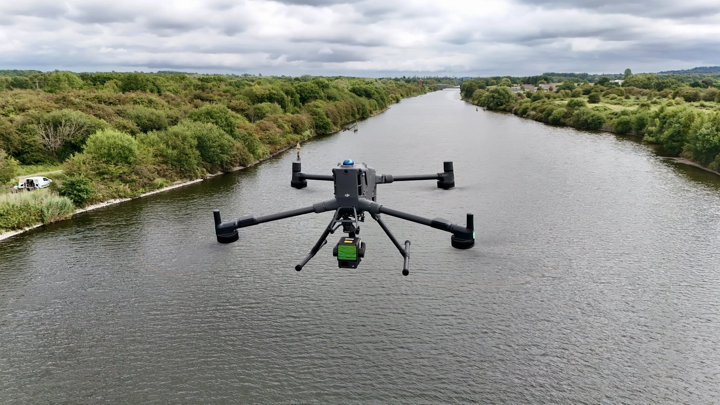
Drone survey accuracy is not just about the drone. It is about the full workflow behind the data capture.
Drone survey accuracy depends on the aircraft, payload, flight height, overlap, ground control and processing.
RTK and ground control can improve accuracy and help validate results.
Different projects need different levels of accuracy.
LiDAR and photogrammetry can both be accurate, but they suit different site conditions.
The most important step is understanding what the data will be used for before the survey is planned.
What does this mean?
A drone survey captures data from the air and turns it into usable outputs such as orthomosaics, point clouds, 3D models, DSMs, DTMs, contours and measurements.
The accuracy of those outputs depends on how the survey is designed and controlled.
For example, a simple visual progress survey may not need the same accuracy as a topographic survey, volume calculation or design-stage mapping project. A roof inspection may need clear imagery more than survey-grade positioning. A land survey may need carefully controlled data that can be aligned to a known coordinate system.
This is why accuracy should always be discussed at the start of the project.
Why does it matter?
Accuracy matters because clients use drone survey data to make decisions.
If the data is being used for design, measurement, stockpile calculations, asset records, planning, engineering or comparison over time, the outputs need to be reliable and suitable for that purpose.
Poorly planned surveys can lead to weak data, inconsistent outputs or results that do not match the client’s workflow. This can cause delays, confusion or the need to revisit the site.
A properly planned drone survey helps reduce that risk by matching the capture method to the required output.
Team UAV Insight
At Team UAV, we do not treat accuracy as a generic claim.
Before a survey is carried out, we look at what the client needs from the data, how it will be used and what level of control is required. That helps define the right aircraft, payload, flight plan, ground control approach and processing workflow.
For some projects, high-resolution photogrammetry is the right method. For others, LiDAR may be better, especially where vegetation, complex terrain or elevation data is involved. In many cases, the strongest result comes from combining different capture methods.
Because we use enterprise drone systems in live survey environments, our focus is on delivering data that is useful, accurate and fit for purpose.
What affects drone survey accuracy?
Several factors can affect the accuracy of a drone survey.
These include:
Flight height
Camera or sensor quality
Image overlap
Ground sample distance
RTK positioning
Ground control points
Weather and lighting
Vegetation
Site complexity
Processing software
Coordinate system requirements
The skill and planning of the survey team
Ground control is especially important when the data needs to be checked against known points on the ground. For some projects, RTK alone may be suitable. For others, ground control provides an additional level of confidence and validation.
Speak to Team UAV
Team UAV provides drone surveys for construction, utilities, infrastructure, land management, industrial sites and asset inspection.
Get in touch with our team to discuss the right survey method and accuracy requirements for your project.
FAQS
-
No. A drone survey can be planned for different levels of accuracy. Some projects need survey-grade outputs, while others need visual records, inspection imagery or repeatable site data.
-
Not always, but ground control points can improve accuracy and provide a way to check the survey data against known positions on the ground.
-
Not automatically. LiDAR and photogrammetry both have strengths. The best option depends on the site, the surface conditions, vegetation, required outputs and how the data will be used.