
Safer, Accurate and More Cost Effective Drone Surveys
Award-winning drone surveys from the UK’s most trusted drone service partner - when it comes to surveying the land from the air, we go above and beyond!

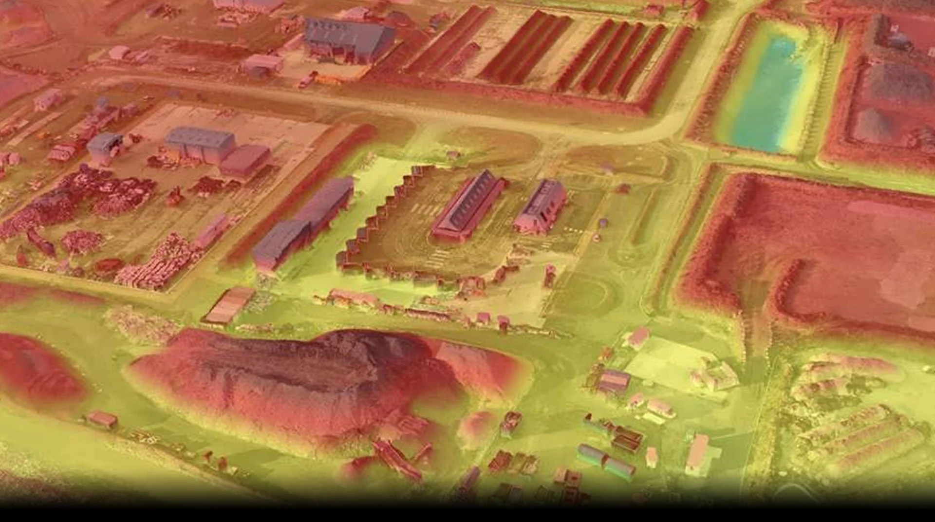
Point Cloud
Over the past 9 years, we have built in-house expertise in Digital Twin modelling and point cloud generation. Working with our UK and international client base, We have captured data on over 100’000 assets and turned them into ultra-high-resolution dense point clouds and digital twin models. Using state-of-the-art and specialist RTK ground control points and RTK-enabled drones, our data is accurate to millimetres.