
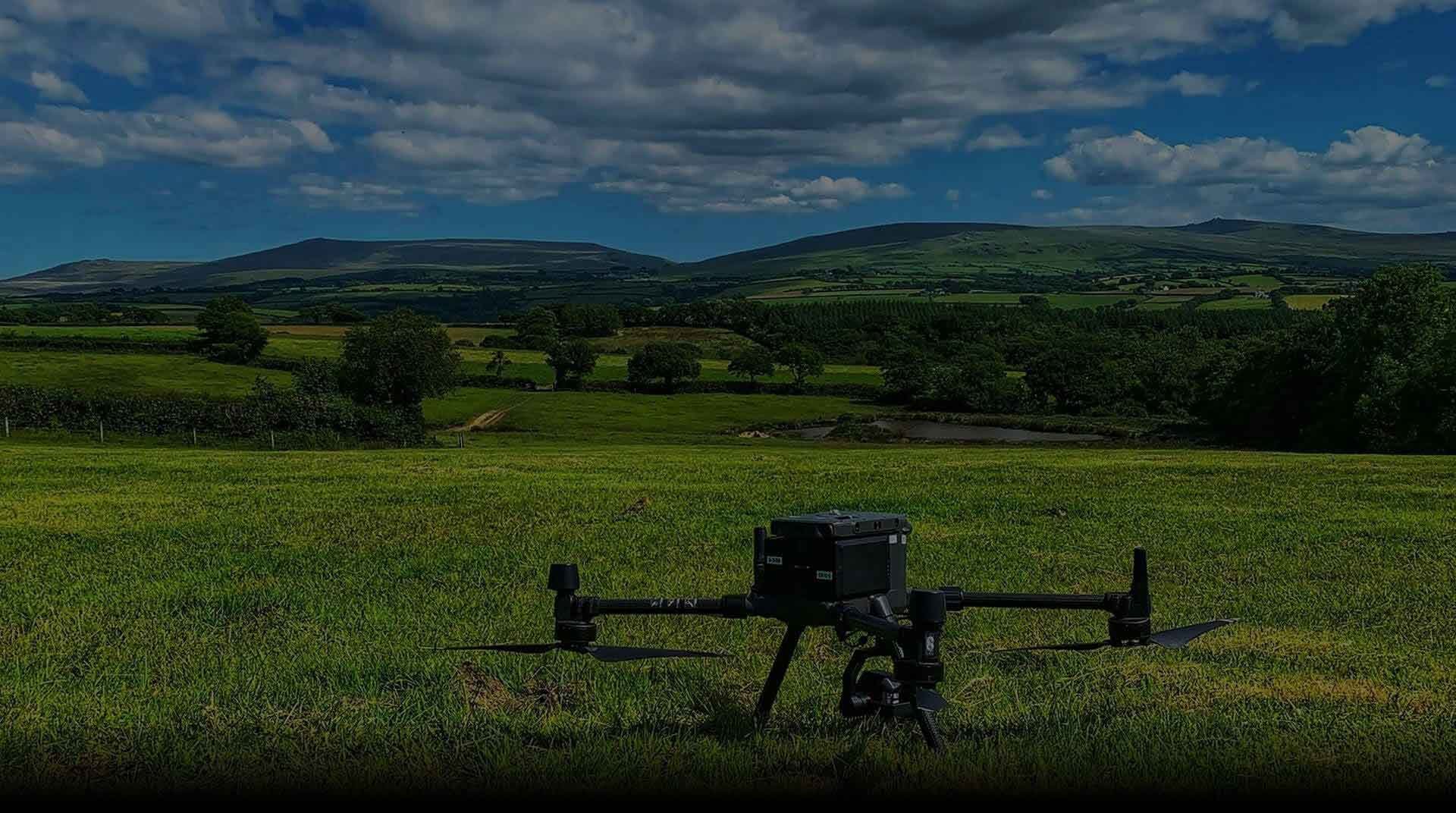
The UK’s Leading Drone Service Provider.
Team UAV delivers drone inspection, survey and response services for utilities, infrastructure and commercial sites across the UK.
Our teams capture high-resolution imagery, LiDAR, thermal and survey data to help clients inspect assets, understand site conditions and make better operational and engineering decisions.
From one-off inspections and surveys through to repeat monitoring and rapid response, Team UAV manages the complete operation, combining experienced pilots, specialist equipment and practical data delivery around the requirement.
Ranked among the Top 10 Global Drone Service Providers, we support complex projects nationwide with proven operational capability and trusted aerial data.
Have a project in mind? Tell us what you need to inspect, survey or understand and we’ll advise on the right approach.















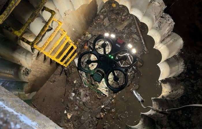

Drone Inspection
Our drone inspections cover offshore wind turbines and communication towers to desert pipelines, buildings, pylons, confined spaces, and all the nuts and bolts that make them.
Our drone inspections are advanced, efficient and save thousands in manual inspection fees, all whilst improving safety.
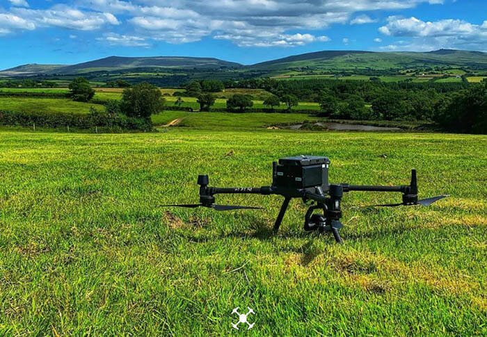
Drone Survey
We use the very latest in RTK and PPK positioning technology onboard our state-of-the-art drones. Our drone surveys are ultra-accurate, proven down to 25mm in x,y,z - and under 1cm per pixel GSD.
We can survey up to 1000ha per day and use our analytical software and tools to generate volumetric calculations accurate to within 5%.
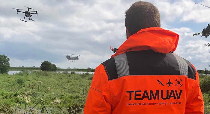
Drone Response
We work with Government Agencies and Emergency Services nationally delivering drone response teams to emergency situations.
We can work completely independently with our own hardware and software and plug directly into your systems, or work to bolster your forces team, delivering secure data as an outside agency.