How can drones support rail infrastructure?
Drones can support rail infrastructure by providing safer and faster visibility of assets, corridors and difficult access areas. They can be used for inspections, surveys, mapping, condition records and monitoring across rail lines, bridges, embankments, drainage assets, stations, depots, vegetation and surrounding land.
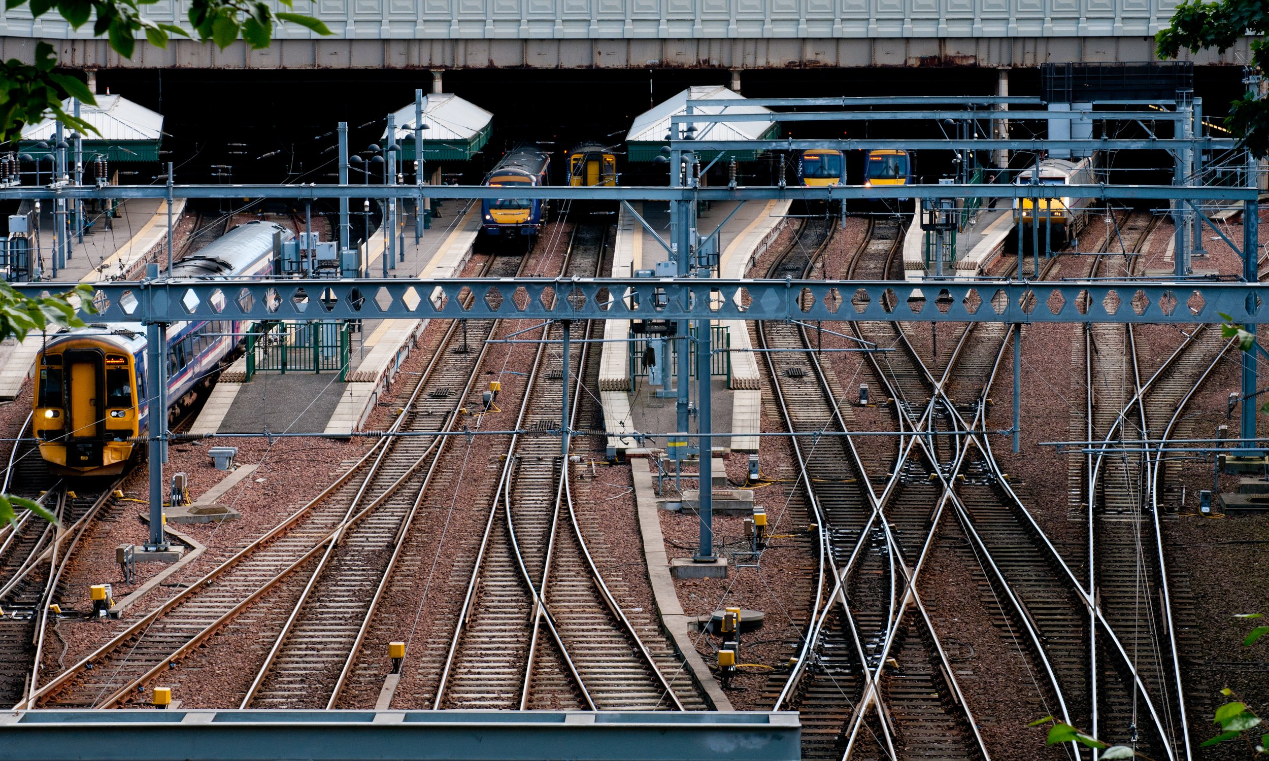
For rail teams, the value is not just aerial imagery. It is having better information to support maintenance planning, asset management, safety and operational decision-making.
Drones can help inspect and survey rail infrastructure from safer positions.
They can support asset condition checks, corridor mapping and progress monitoring.
Drone data can reduce the need for some trackside access.
LiDAR, photogrammetry, thermal data and visual inspection can all be useful.
The right drone workflow depends on the asset, site constraints and required outputs.
What does this mean?
Rail infrastructure includes a wide range of assets that can be difficult, time-sensitive or disruptive to access.
This may include bridges, cuttings, embankments, trackside assets, drainage routes, stations, depots, vegetation, roofs, retaining walls and surrounding land.
Drones can help by capturing useful information from above, around or near these areas. Depending on the project, this could include high-resolution imagery, video, LiDAR data, point clouds, orthomosaics, thermal data or inspection records.
That data can then be used to support planning, maintenance, asset records, vegetation management, site monitoring and project delivery.
Why does it matter?
Rail environments often involve access restrictions, safety considerations and operational constraints.
Traditional inspection or survey methods can require possessions, track access, line blocks, specialist access equipment or additional planning. Drones can help teams understand site condition before arranging more intrusive access methods.
This can support safer planning, reduce unnecessary disruption and help asset owners or contractors target further work more effectively.
The real benefit is better visibility. When teams can see more of the asset or corridor, they can make better decisions about what needs attention and how work should be planned.
Team UAV Insight
At Team UAV, we understand that rail infrastructure work needs careful planning, reliable data and a clear understanding of the asset environment.
Drone data needs to support the people making decisions, including asset managers, engineers, project teams, contractors and maintenance teams. That means choosing the right capture method for the site and the question being asked.
For some rail projects, this may involve visual inspection or roof surveys. For others, it may involve LiDAR capture, mapping, corridor visibility, vegetation monitoring, embankment assessment or repeat site records.
Our focus is on delivering clear, usable data that supports safer access, better planning and more informed asset management.
Speak to Team UAV
Team UAV provides drone survey, inspection and monitoring services for rail, infrastructure, utilities and complex operational environments.
Get in touch with our team to discuss how drone data could support your rail infrastructure assets or projects.
FAQS
-
Drones can support inspection of bridges, embankments, cuttings, drainage routes, stations, depots, roofs, retaining walls, vegetation and wider rail corridor environments.
-
Drones can help reduce the need for some trackside access by capturing aerial data before further inspection or works are planned. Some tasks may still require physical access depending on the asset and requirement.
-
Useful data can include high-resolution imagery, video, LiDAR, point clouds, orthomosaics, thermal data, mapping outputs, inspection records and reports.