
Safer, Accurate and More Cost Effective Drone Surveys
Award-winning drone surveys from the UK’s most trusted drone service partner - when it comes to surveying the land from the air, we go above and beyond!
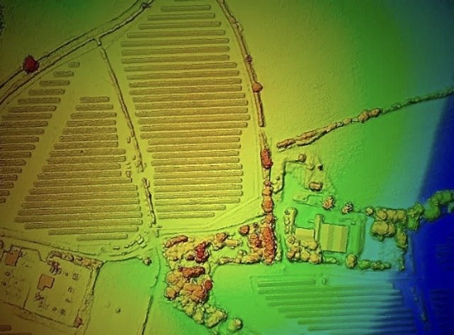
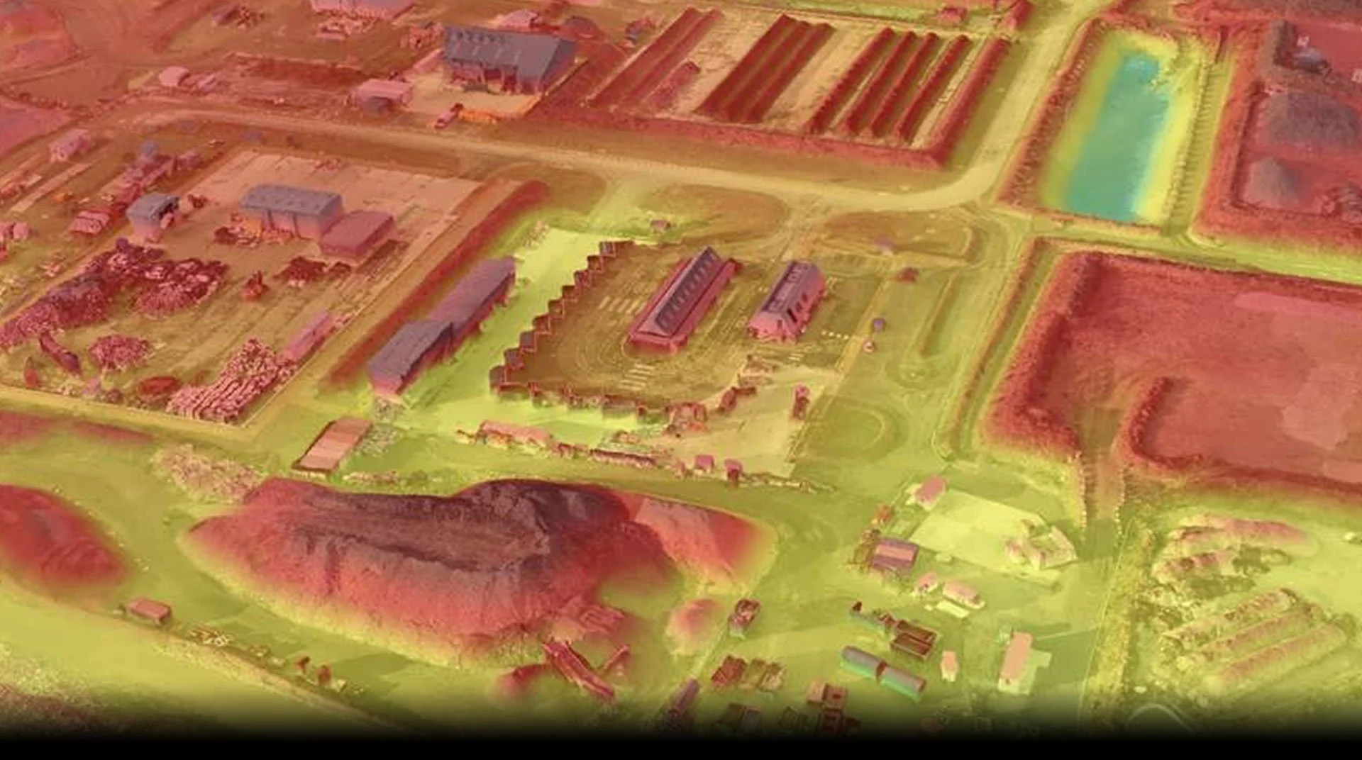
Photogrammetry Processing
Our world is rapidly changing to be more digital, the data we view isn’t numbers and letters anymore it’s images, videos and high-resolution 3D models. Everyone is consuming more and more data every year.
As technology advances, the number of megapixels in our sensors also increases, but so too does the size of the datasets that we capture. As a technology business, we have to have the best systems available to be able to view our raw datasets at high speed, but that isn’t always the case for our clients. They may use older computer systems or systems that aren’t as fast. But they still need to be able to view the data – even more so than we do!