How is drone survey data processed?
Drone survey data is processed by turning captured images, LiDAR data or sensor outputs into usable deliverables such as orthomosaics, point clouds, 3D models, DSMs, DTMs, contours and reports.
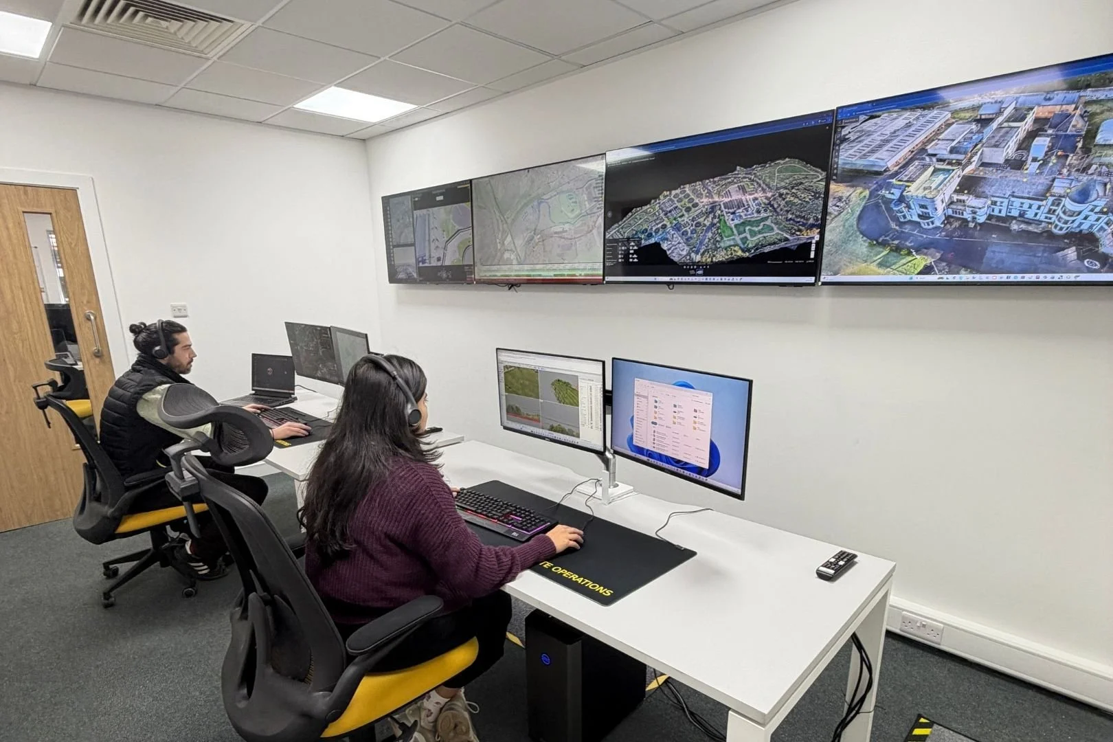
The processing stage is where raw flight data becomes information that clients can measure, review and use.
Drone data needs to be processed after capture.
Imagery can be processed into maps, models and visual records.
LiDAR can be processed into point clouds and terrain outputs.
Ground control and checks help validate the data.
Final outputs should match the client’s workflow.
What does this mean?
A drone flight captures raw data. That data is not always useful on its own.
Images may need to be stitched, aligned and processed into mapping outputs. LiDAR data may need to be cleaned, classified and converted into useful point cloud or terrain deliverables.
Processing turns the captured data into something project teams can understand and use.
Why does it matter?
The processing stage can make or break a drone survey.
A well-flown survey can still produce weak outputs if the data is not processed correctly. The right workflow depends on the deliverables, accuracy requirements, coordinate system, software and client needs.
Team UAV Insight
At Team UAV, data processing is built into the survey workflow from the start.
We plan the flight around the final deliverable, whether that is an orthomosaic, point cloud, 3D model, DTM, DSM, contour output, volume report or inspection record. That means considering ground control, overlap, flight height, payload choice and processing requirements before the drone goes to site.
The aim is to provide client-ready data that is accurate, usable and suitable for the people who need to work with it.
Speak to Team UAV
Team UAV provides drone survey, LiDAR, photogrammetry and data processing workflows for construction, utilities and infrastructure projects.
Get in touch with our team to discuss your data requirements.
FAQS
-
Different software can be used depending on the aircraft, payload and deliverables. DJI Terra is one option within the DJI Enterprise ecosystem.
-
Yes, when processed into suitable formats and captured to the required specification.
-
It should be defined at the start. The outputs and processing requirements need to be agreed before the survey takes place.