
Latest
The latest articles, case studies from Team UAV.
Articles | Case Studies | All

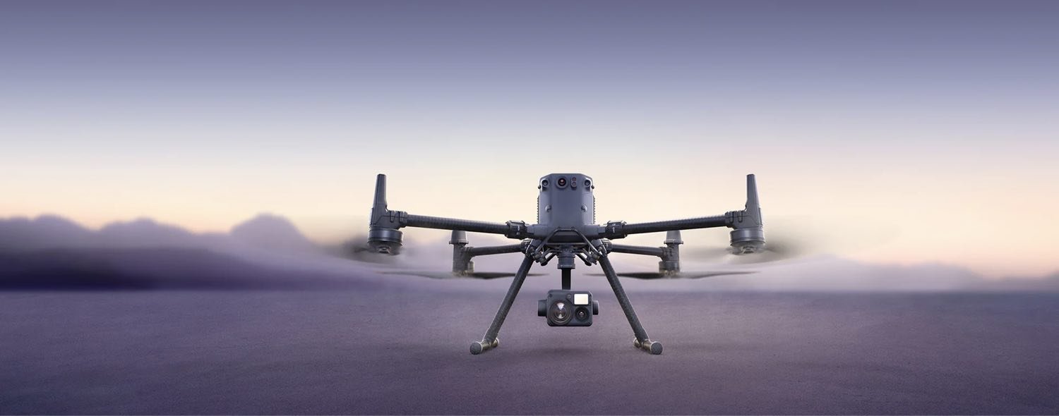
Team UAV Joins PDG Aviation Services Group!
Team UAV is proud to announce the opening of its new Manchester headquarters at The Original Manchester Airport, Barton Aerodrome.
This strategic move strengthens the company’s presence in the North West, enhancing its ability to deliver cutting-edge drone services to industries across the region.
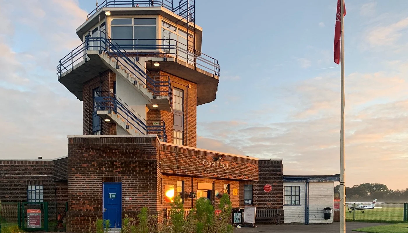
Team UAV Expands with New Manchester Hub at Barton Aerodrome
Team UAV is proud to announce the opening of its new Manchester headquarters at The Original Manchester Airport, Barton Aerodrome.
This strategic move strengthens the company’s presence in the North West, enhancing its ability to deliver cutting-edge drone services to industries across the region.

What is LiDAR, and how does it work?
LiDAR technology, known for its high precision in distance measurement and 3D mapping, has undergone significant transformations since its inception. Traditionally, LiDAR systems relied on various platforms such as handheld sensors, aircraft-mounted sensors, and satellite-based systems.
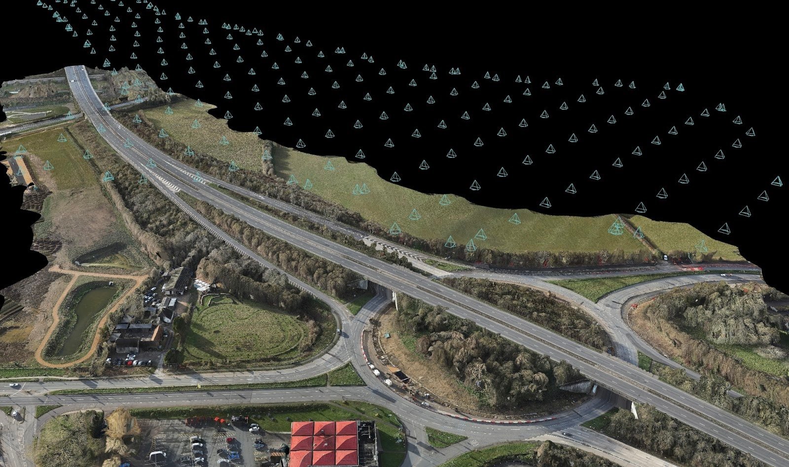
What is Photogrammetry, and how does it work?
Recent advancements in digital photography, software, and drones have revolutionised the field of photogrammetry, enabling high-precision surveys at relatively low costs across various scales. Photogrammetry drones are now widely used in diverse fields such as archaeology, heritage architecture, structural inspections, and emergency surveys.

The Crucial Role of Drone Inspections in Maintaining Workplace Buildings
In a world where technology continually reshapes how we conduct business, drone inspections have emerged as a vital tool in maintaining the integrity and safety of workplace buildings.From car dealerships and fast-food restaurants to supermarkets and sports arenas, structural soundness and aesthetic appeal of buildings play a significant role in business operations.
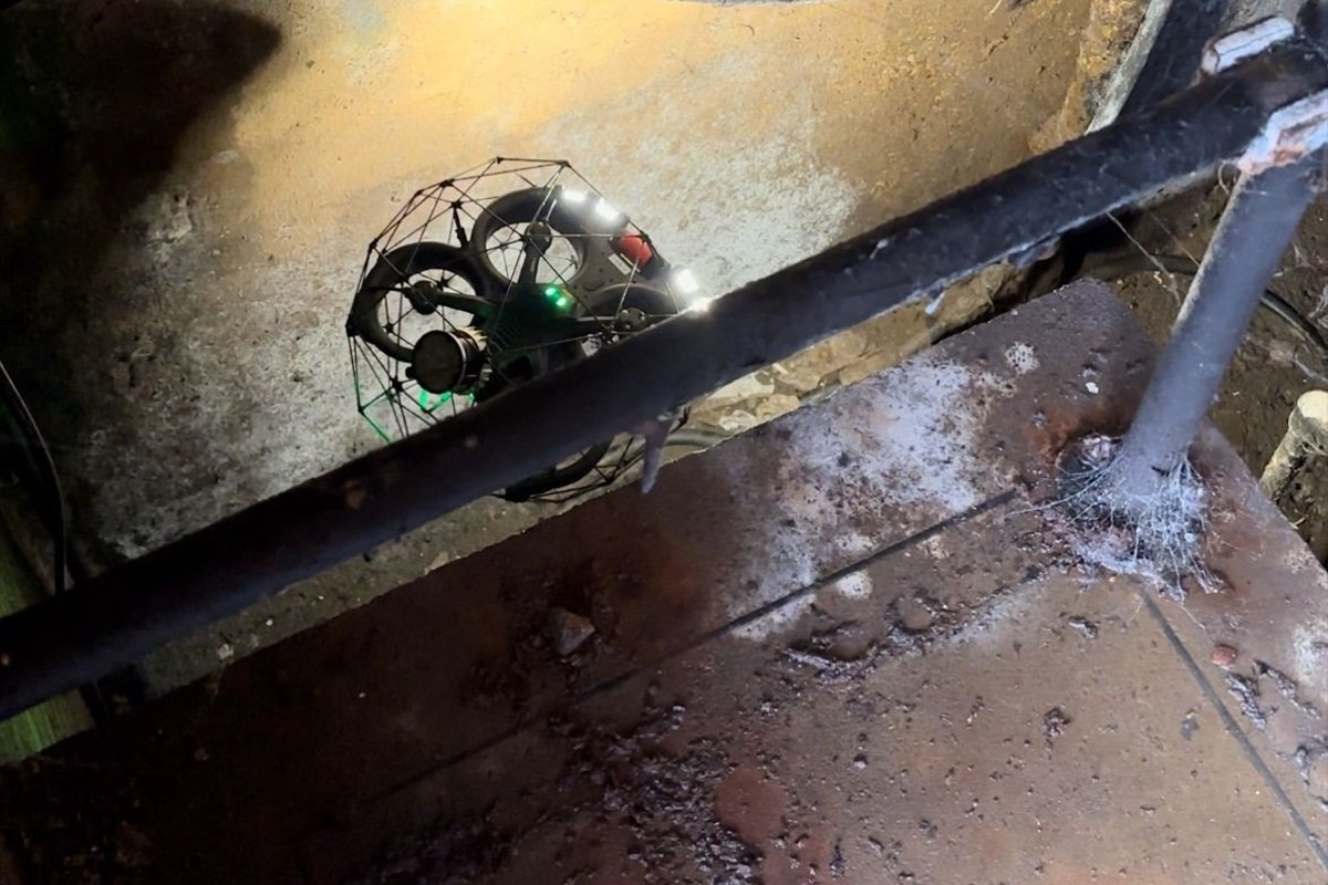
Unlocking Safety and Precision: The Crucial Role of Elios 3 in Confined Space Inspection
Innovations within the drone sector have continued to help increase productivity, safety and data capture. In the realm of industrial inspections, particularly in confined spaces, the introduction of cutting-edge technologies has revolutionised the way we ensure safety, efficiency, and accuracy, but why should you opt for this type of inspection?

Understanding Confined Spaces Before Inspection
The essence of safety in industrial and construction realms rests on a comprehensive understanding of confined spaces before any inspection is carried out. As industries evolve and technological advancements like drone inspections become integral, the foundational knowledge about confined spaces becomes even more critical.

Elevating Wind Energy: Drones Revolutionize Wind Turbine Inspections
In the vast expanse of wind energy, a subtle yet powerful transformation is unfolding as drones soar to the forefront, reshaping the dynamics of wind turbine inspections. This shift towards unmanned aerial vehicles (UAVs) marks a significant leap in efficiency, precision, and cost-effectiveness, redefining the landscape of wind turbine maintenance.

How Drones are Changing the Game in Solar Panel Inspection
In recent times, the solar energy industry has experienced a remarkable transformation in how they inspect and maintain solar installations. Drones have stealthily taken center stage, reshaping the landscape of solar panel inspections with their efficiency, cost-effectiveness, and precision. Let's delve into the silent but powerful revolution that drones are bringing to the realm of monitoring and optimizing solar farms.