
Safer, Accurate and More Cost Effective Drone Surveys
Award-winning drone surveys from the UK’s most trusted drone service partner - when it comes to surveying the land from the air, we go above and beyond!

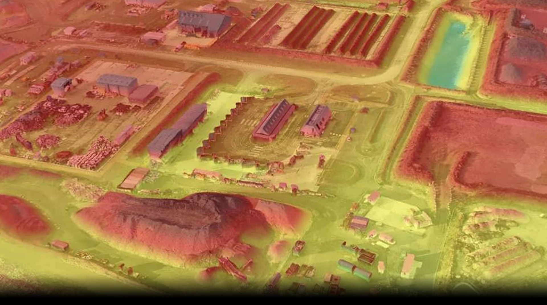
Environmental Survey
When you first make contact with us, a member of the team will talk through your project with you or meet you on-site if you prefer. Once we have all the details and everyone’s happy, we’ll schedule a date for one of our experienced Drone Pilots to carry out the work. From there, we’ll process your data and give you access to our drone survey software that makes viewing orthomosaics easy, navigating complex point clouds or 3D models a breeze, and taking 2D and 3D measurements a pleasure. Our interactive software allows you to visualise, measure, interact, export and share your data easily and securely. Our data also easily integrates with your existing GIS or CAD software too, by simply exporting your required file type.