
Case Study:
Dock 3
Overview
The project was designed to ensure that Yorkshire Water could deploy Dock 3 systems safely, compliantly, and in a way that would deliver long-term operational value across both sites. Specifically, the objectives were to:
Prepare both Yorkshire Water sites for the safe and compliant integration of Dock 3 systems.
Gather and structure evidence required for Yorkshire Water’s UK SORA Operational Authorisation submission.
Engage with local authorities to address safety, privacy, and airspace considerations.
Establish the framework for a scalable, automated aerial data capture capability to support inspection, operational, and security workflows.
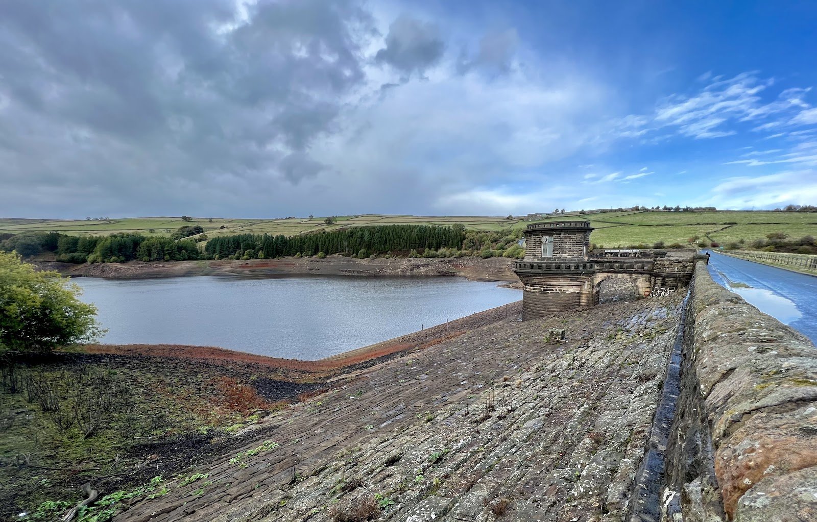
Team UAV worked with Yorkshire Water to prepare two operational sites for the installation of DJI Dock 3 systems. The project set the foundations for fully automated aerial operations designed to strengthen site security, improve situational awareness, and deliver consistent, real-time data to support inspections, fault identification, progress monitoring, and incident response.
As part of the preparation, Team UAV gathered evidence and engaged with local authorities to support Yorkshire Water’s UK SORA Operational Authorisation application with the Civil Aviation Authority. This early work ensured that installation planning, airspace considerations, and community engagement were fully aligned with the regulatory requirements for automated operations.
Project Objectives.
Approach.
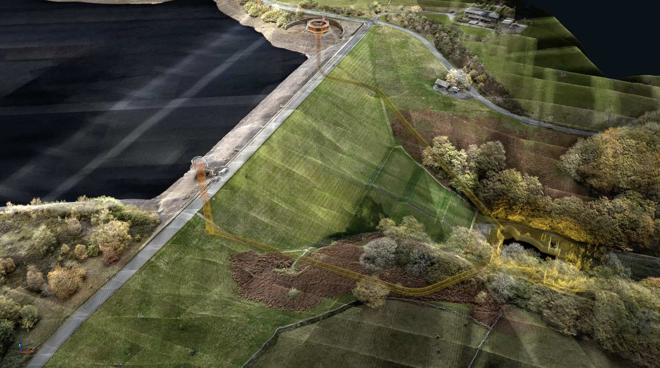
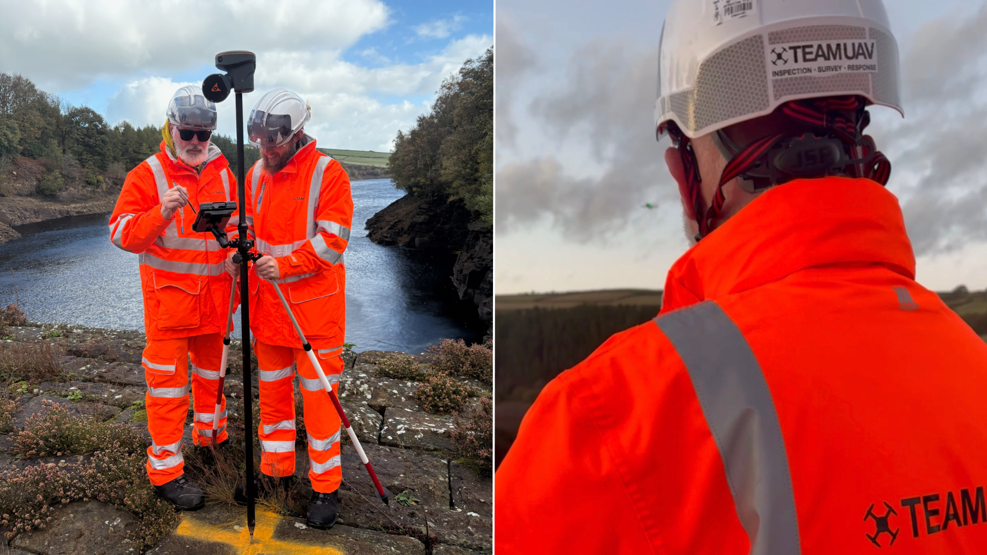
The survey combined multiple capture techniques to ensure a complete and accurate representation of the site. Aerial and ground-based data were collected to map the reservoir and dam surfaces in high detail, while a specialised confined space drone was deployed to inspect internal areas of the bell tower and outflow structures.

Access was achieved from both the top and bottom of the outflow system, allowing both flights to be joined seamlessly and creating a continuous point cloud model of the internal structure. This approach eliminated the need for manual entry into hazardous areas while providing an unprecedented level of visual and spatial detail.
The combination of LiDAR and photogrammetry data allowed the team to produce a fully integrated 3D model of the entire reservoir, dam, and internal systems with unmatched clarity.
Data, Processing and Technical Detail.
The Results.
XXX
XXXX
XXX
XXX