
Latest Case Studies & Articles
Get the latest updates and news from Team UAV.
Articles | Case Studies | All
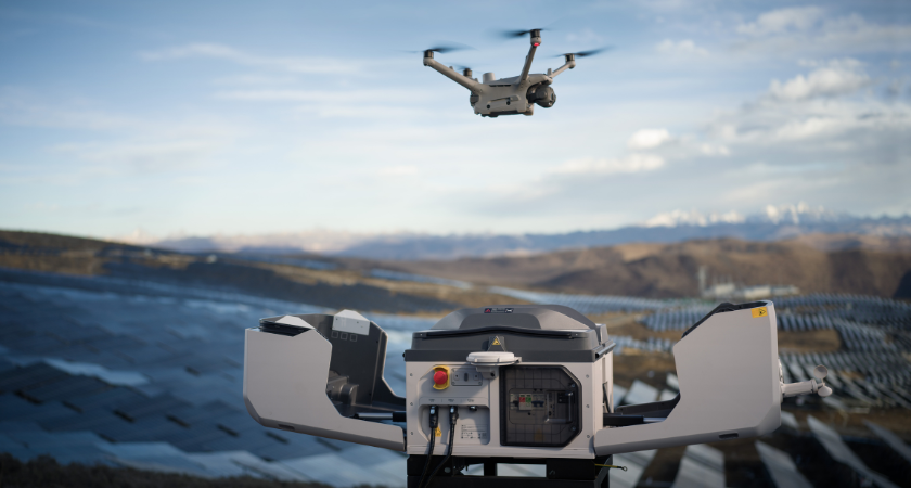
Is DJI Dock 3 right for my site?
DJI Dock 3 may be right for sites that need regular aerial visibility, repeat monitoring, security checks or faster access to drone data from a remote workflow.
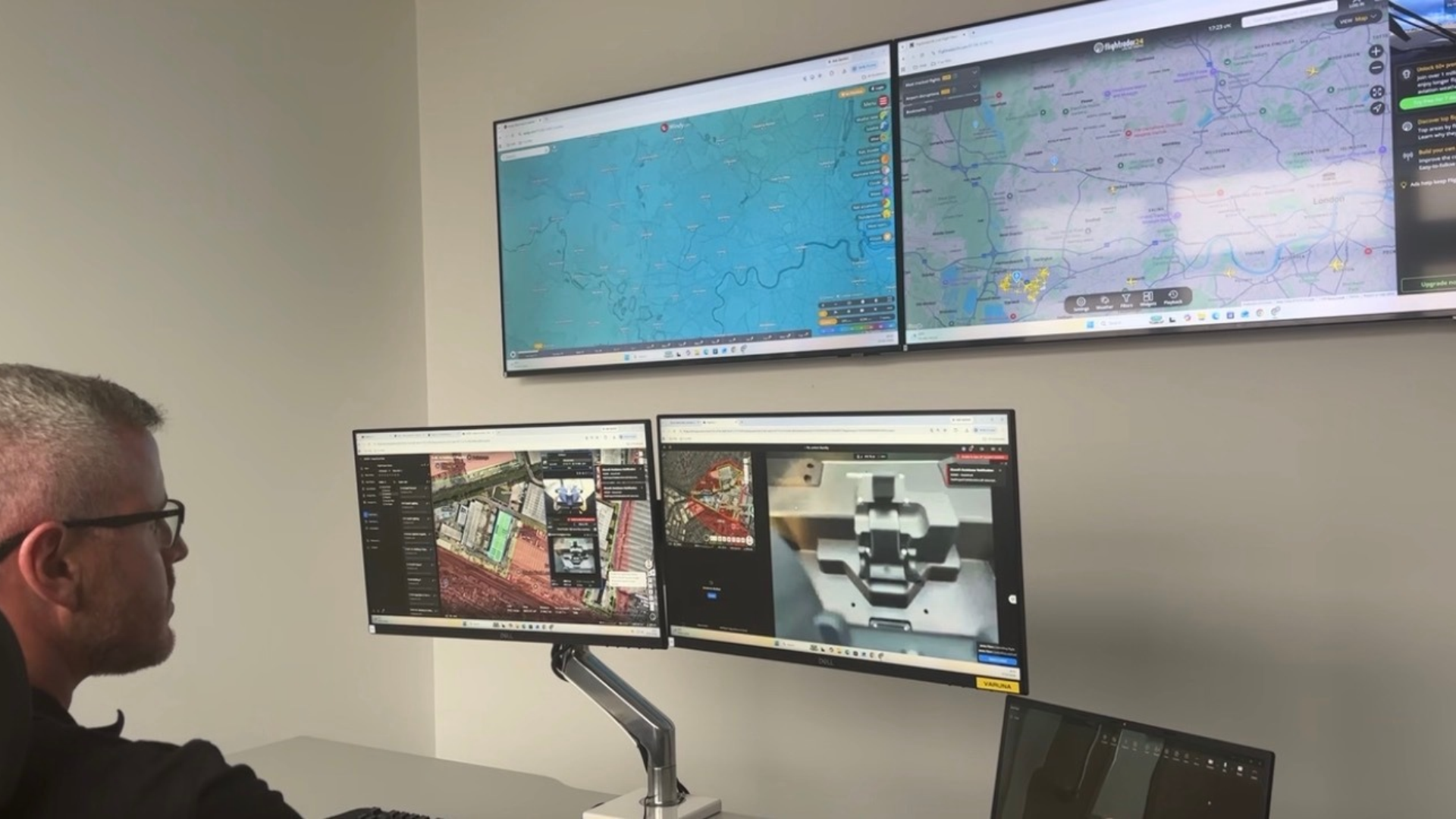
How does DJI Dock 3 work with DJI FlightHub 2?
DJI Dock 3 works with DJI FlightHub 2 to support remote drone operations, mission planning, live viewing, data management and repeatable site monitoring workflows.
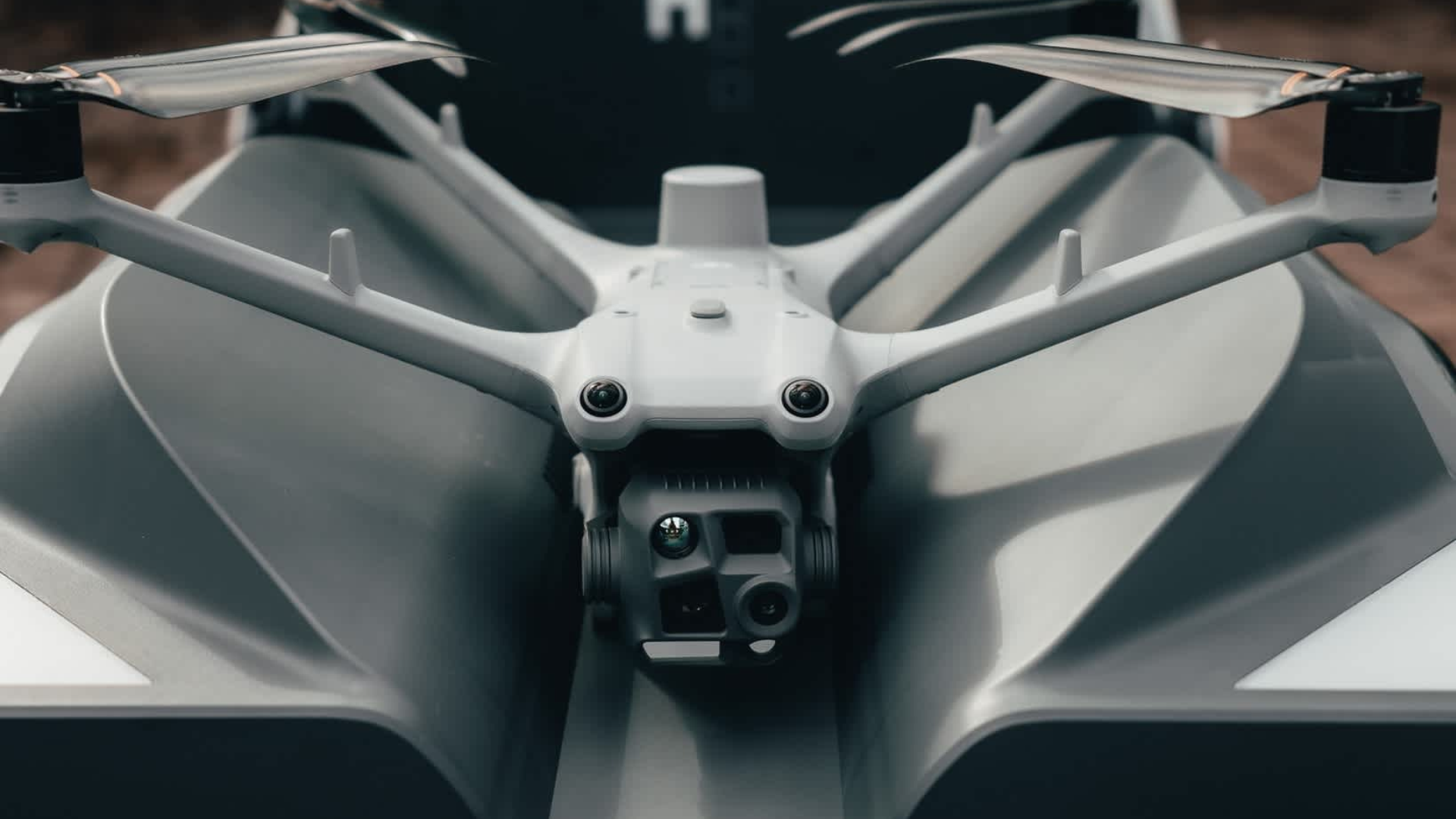
What drones are compatible with DJI Dock 3?
DJI Dock 3 is designed for the DJI Matrice 4D Series, including Matrice 4D and Matrice 4TD, but the right setup depends on the site and use case.
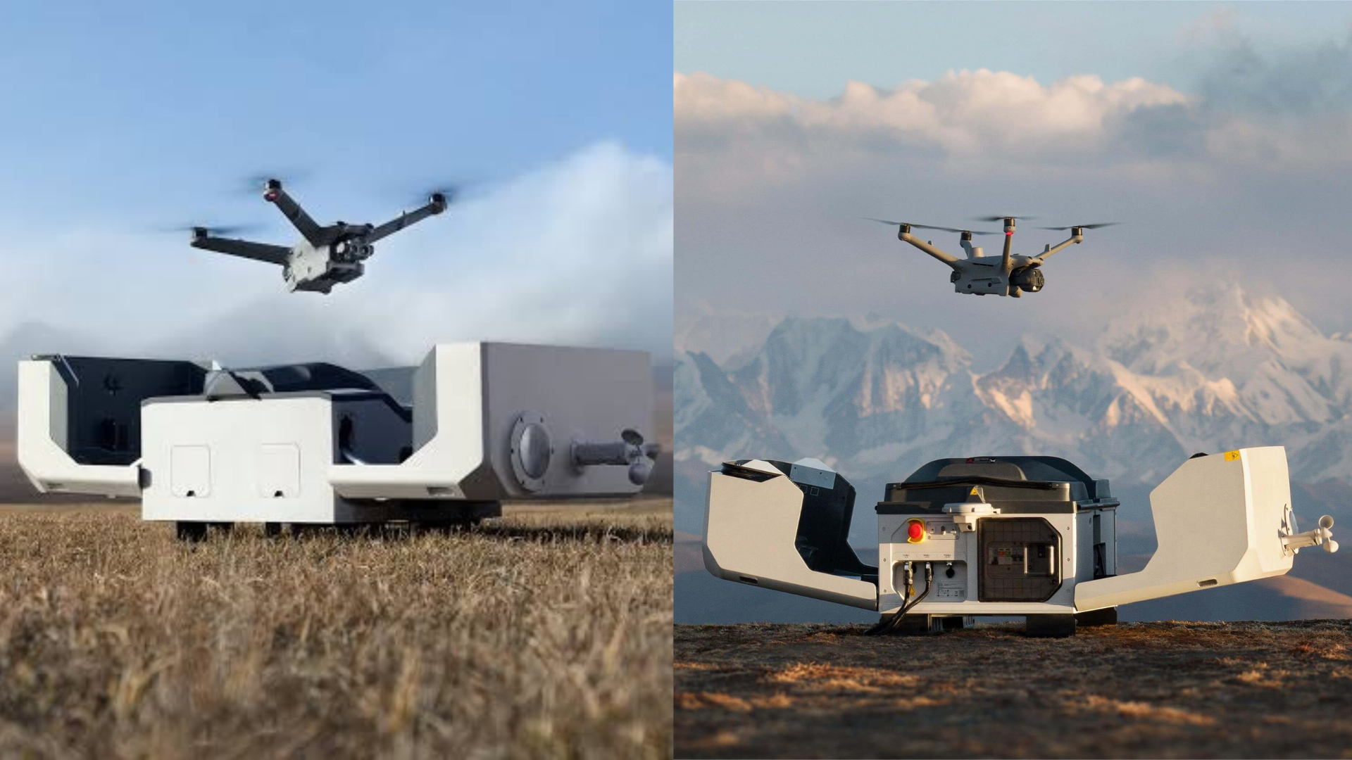
What is the difference between DJI Dock 2 and DJI Dock 3?
DJI Dock 2 and DJI Dock 3 both support remote drone operations, but DJI Dock 3 is the newer system built around the Matrice 4D Series and more flexible deployment workflows.
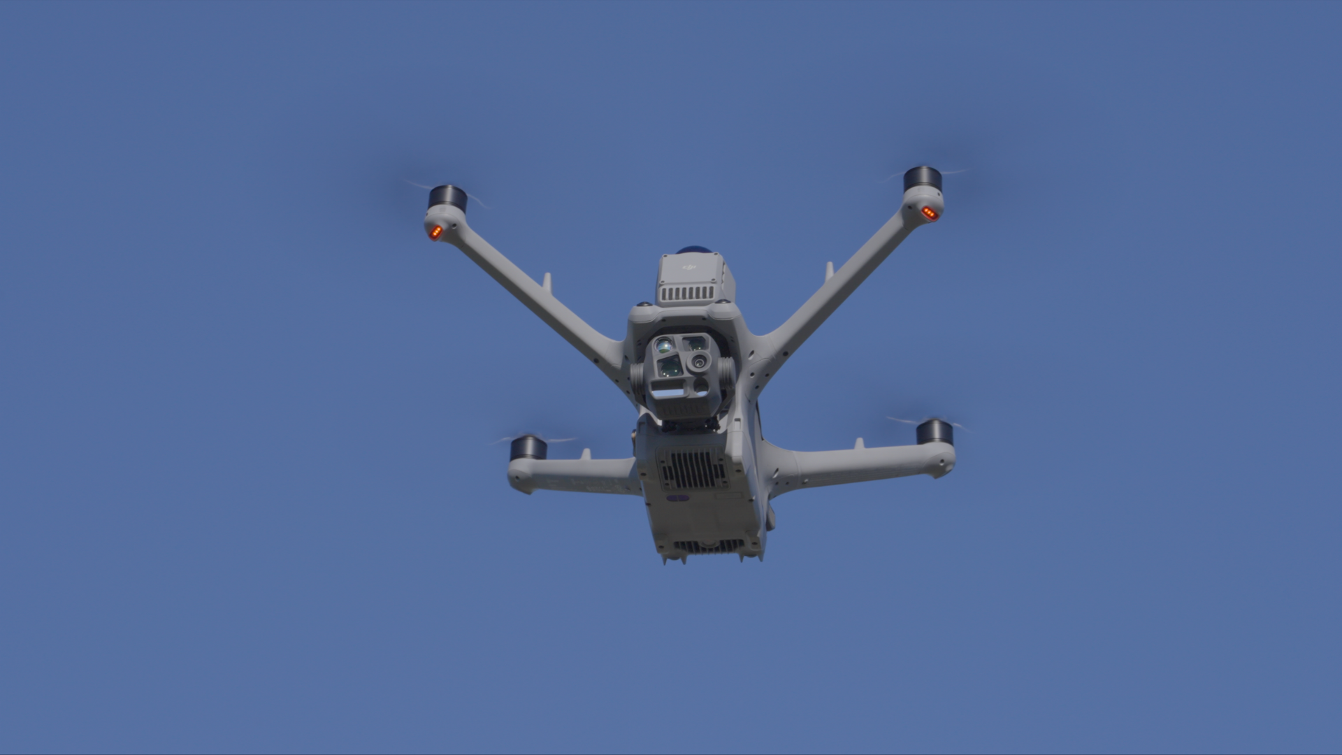
What is drone deployment support?
Drone deployment support helps organisations introduce drone technology properly, from equipment advice and setup to training, workflows and ongoing operational support.

How can drones support heritage building inspections?
Drones can support heritage building inspections by capturing detailed visual data of roofs, facades, towers and difficult access areas, helping teams plan conservation and maintenance work.
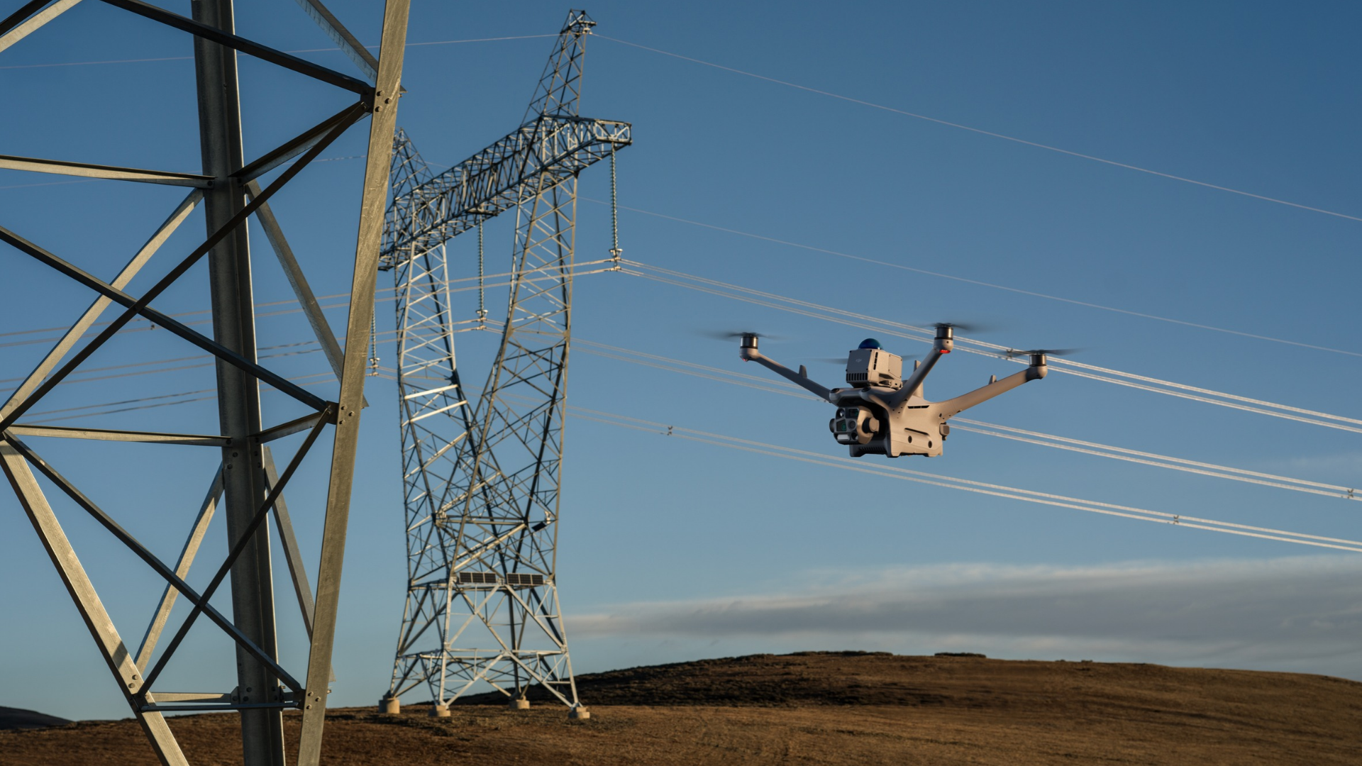
How can drones support energy infrastructure?
Drones can support energy infrastructure by capturing survey, inspection and monitoring data across powerlines, pylons, substations, solar sites, wind assets and supporting infrastructure.
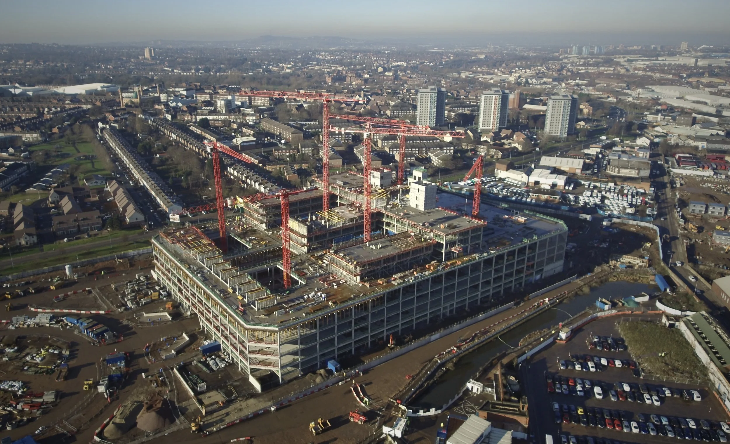
How can drones support construction projects?
Drones can support construction projects by capturing survey, inspection and monitoring data that helps teams track progress, improve visibility and support better decision-making.
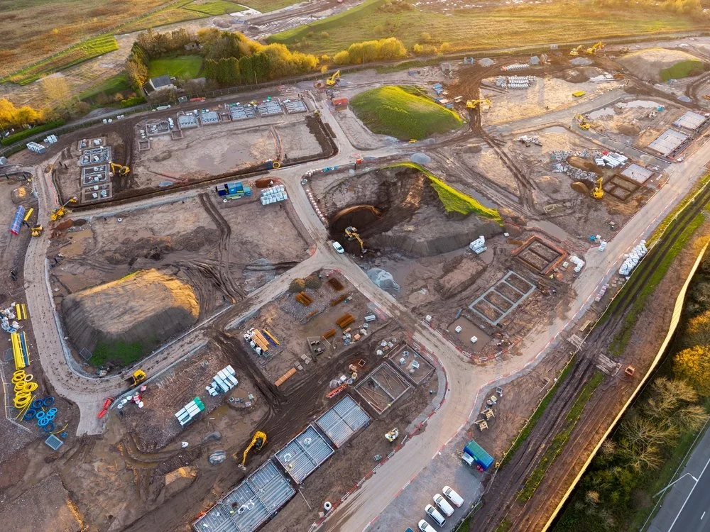
How can drones support industrial sites?
Drones can support industrial sites by capturing survey, inspection and monitoring data across buildings, assets, structures and difficult access areas.
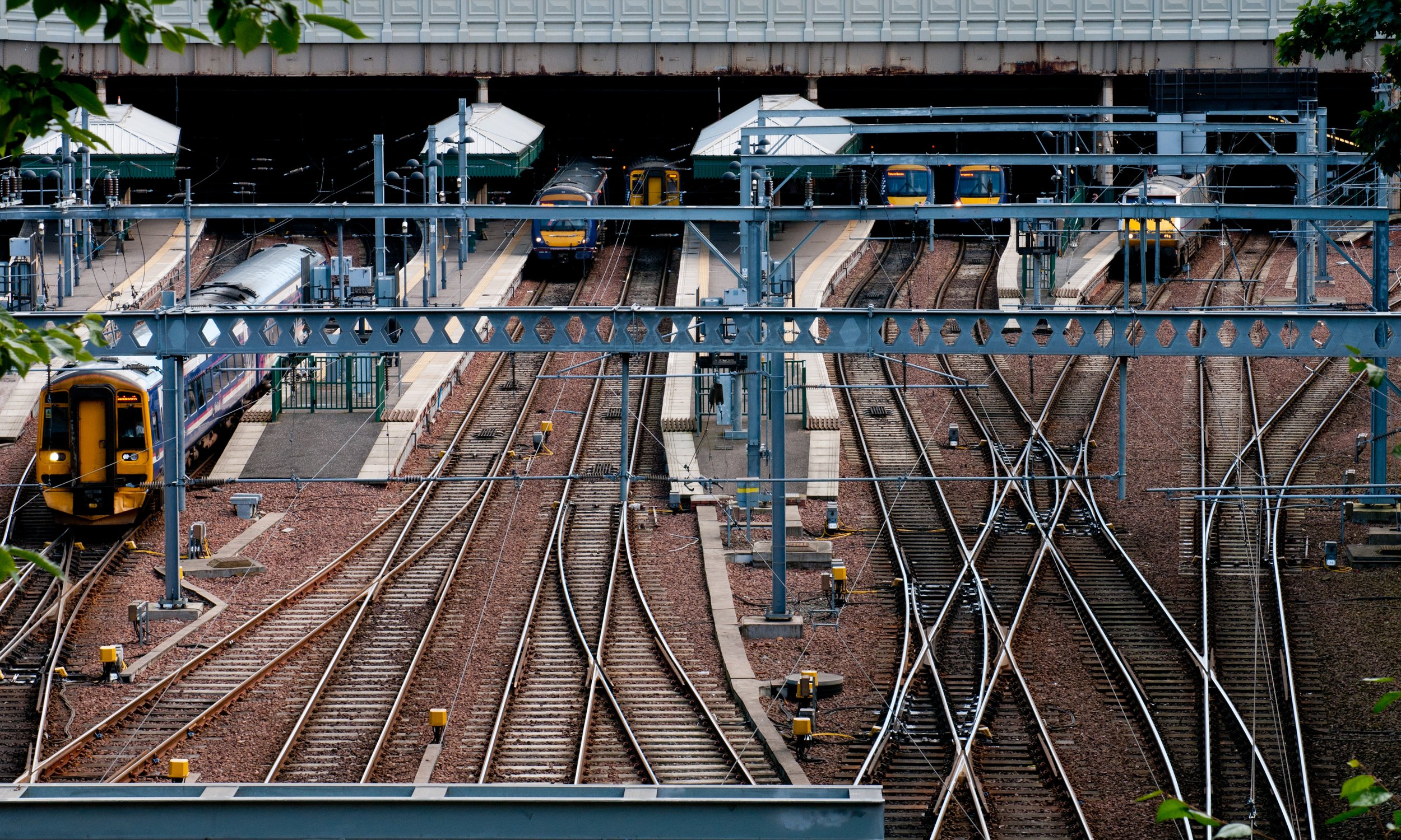
How can drones support rail infrastructure?
Drones can support rail infrastructure by capturing survey, inspection and monitoring data across rail corridors, structures, stations, depots and difficult access assets.
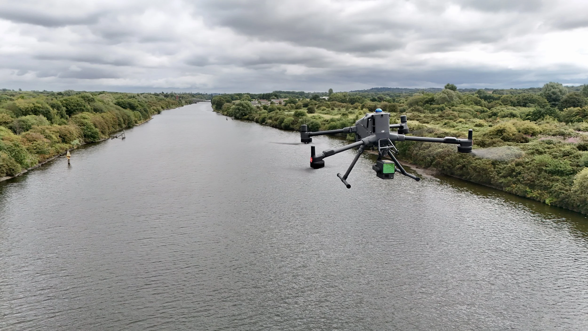
How can drones support water utilities?
Drones can support water utilities by providing safer visibility of assets, sites and infrastructure, helping teams inspect, survey, monitor and manage complex environments.

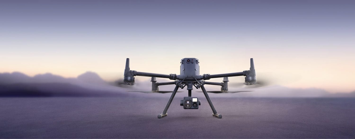
What are DJI Enterprise drones?
DJI Enterprise drones are professional drone systems used for surveying, inspection, mapping, security, asset monitoring and operational workflows.
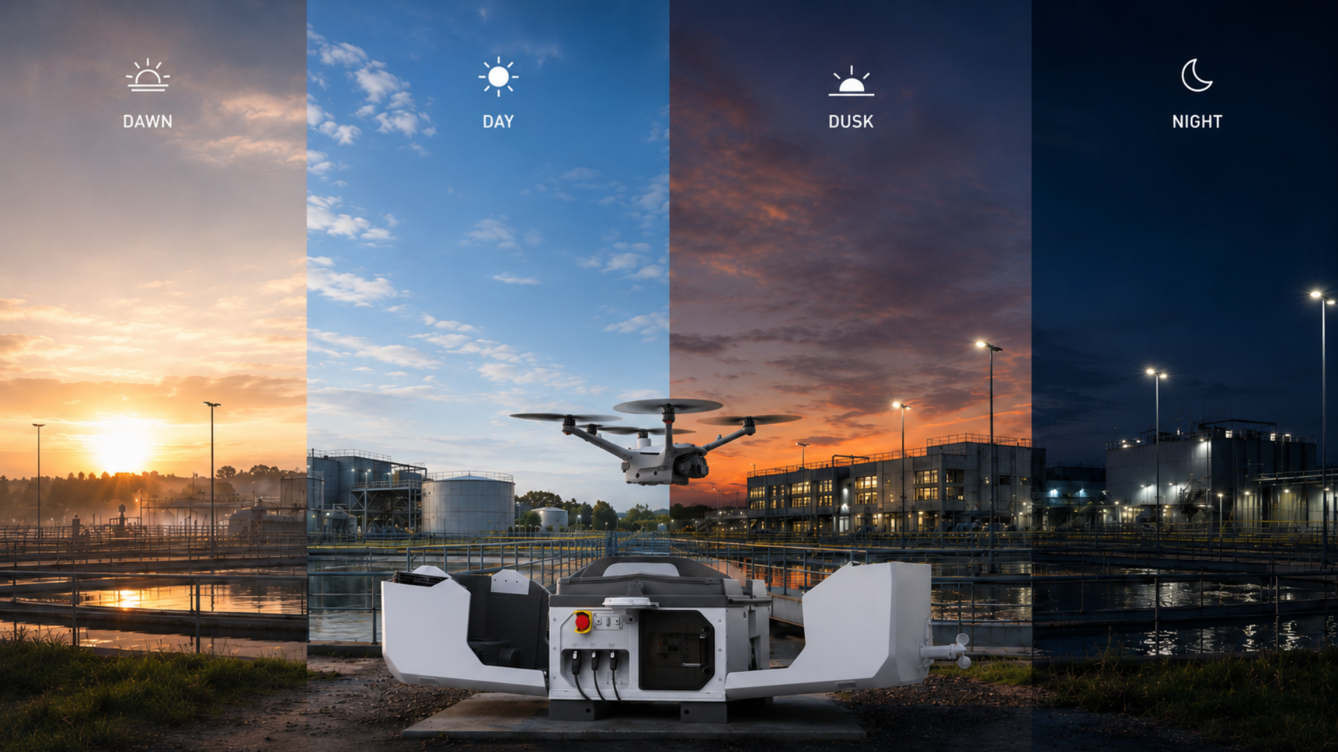
How can DJI Dock 3 support security operations?
DJI Dock 3 can support security operations by enabling remote, repeatable drone deployment for site monitoring, perimeter checks, incident response and aerial situational awareness.
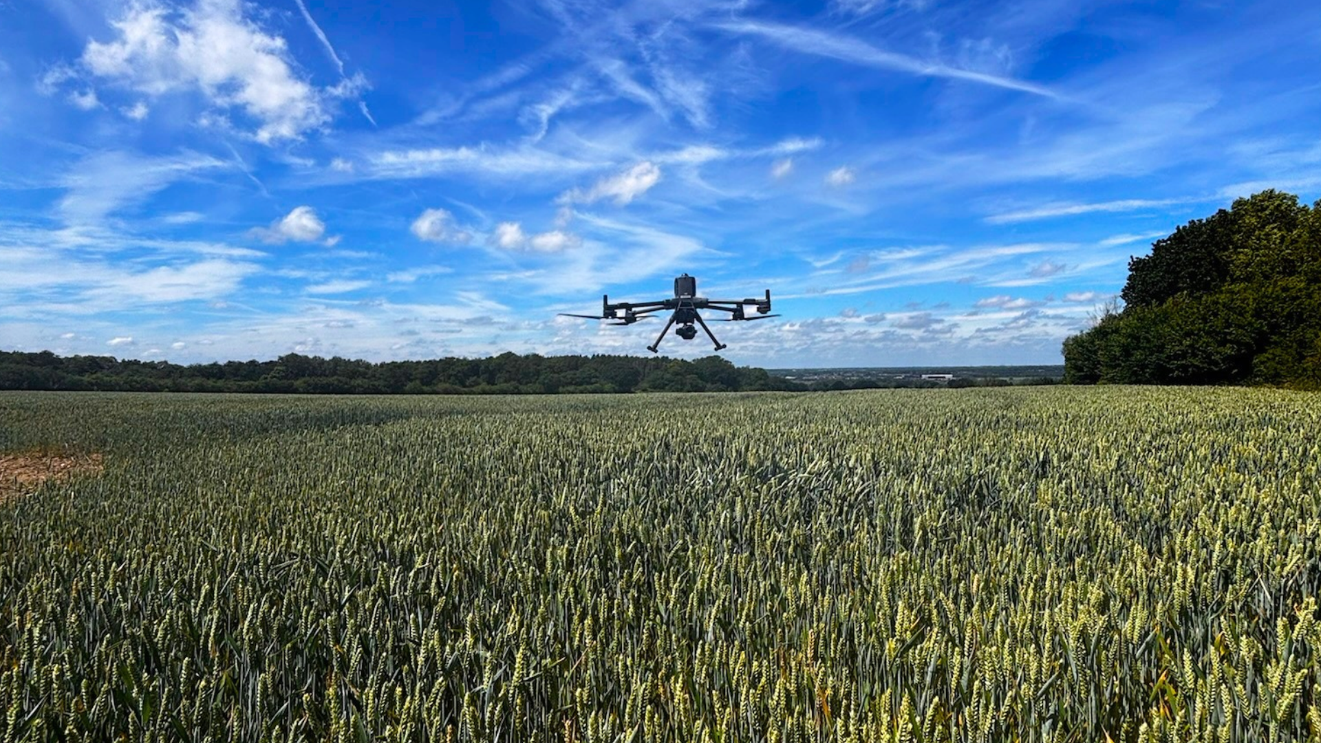
What is automated drone inspection?
Automated drone inspection uses planned or repeatable drone workflows to capture consistent inspection data for sites, assets and infrastructure over time.
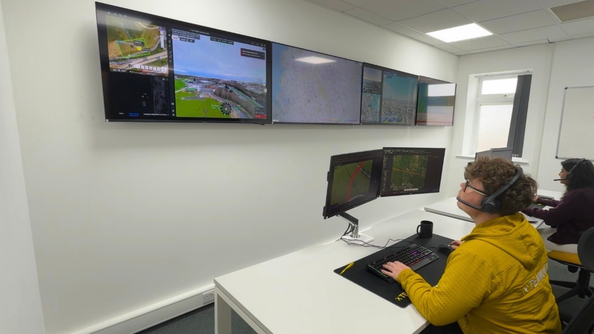
What is remote drone operation?
Remote drone operation helps organisations monitor sites and assets from away from the location, supporting inspection, security, incident response and repeat data capture.
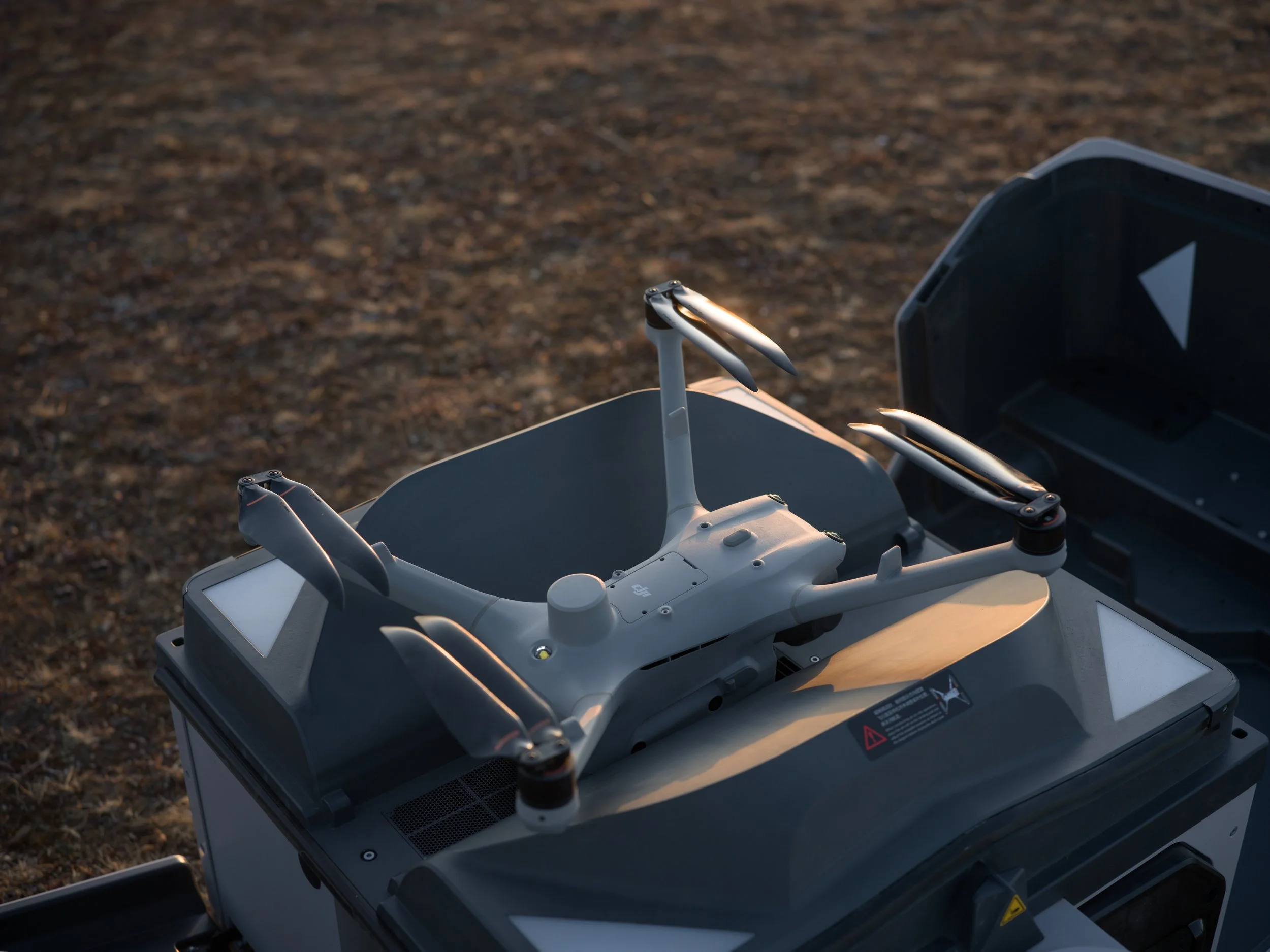
How can drones support remote site monitoring?
Drones can support remote site monitoring by providing regular aerial visibility of assets, access areas and site conditions, helping teams track change and reduce unnecessary visits.

What deliverables do you get from a drone inspection?
Drone inspection deliverables can include high-resolution imagery, video, reports, thermal data, LiDAR outputs and condition records, depending on the asset and inspection objective.
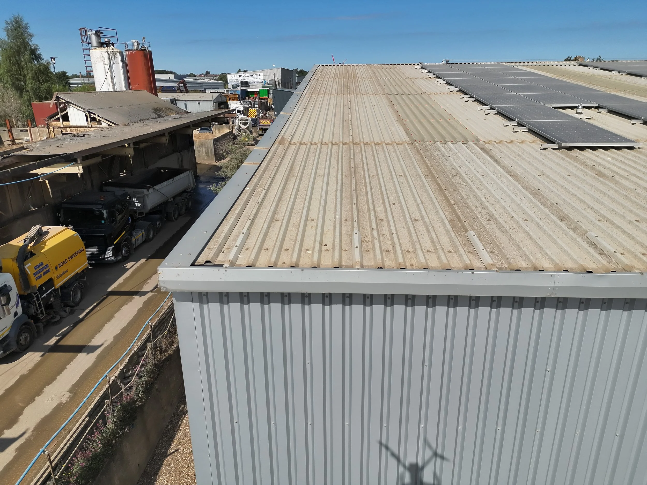
How are drones used for facade inspections?
Drones can support facade inspections by capturing detailed visual data of external building elevations, helping teams assess condition before arranging physical access.
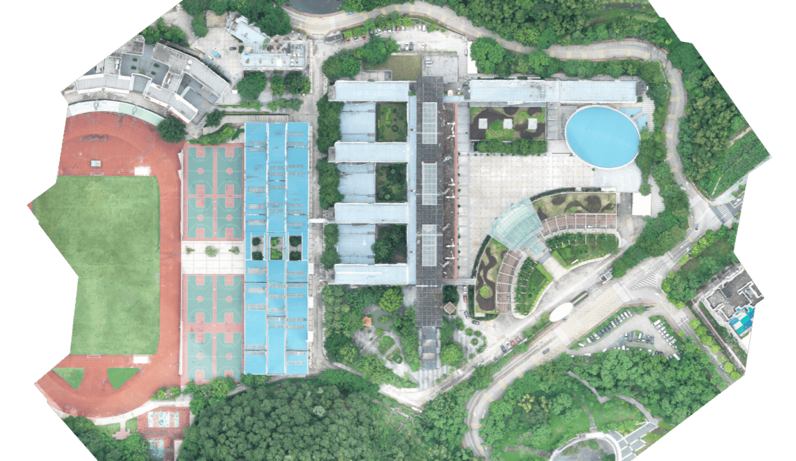
What is an orthomosaic drone survey?
An orthomosaic drone survey creates a detailed top-down site view from multiple drone images, helping clients review progress, site condition and change over time.
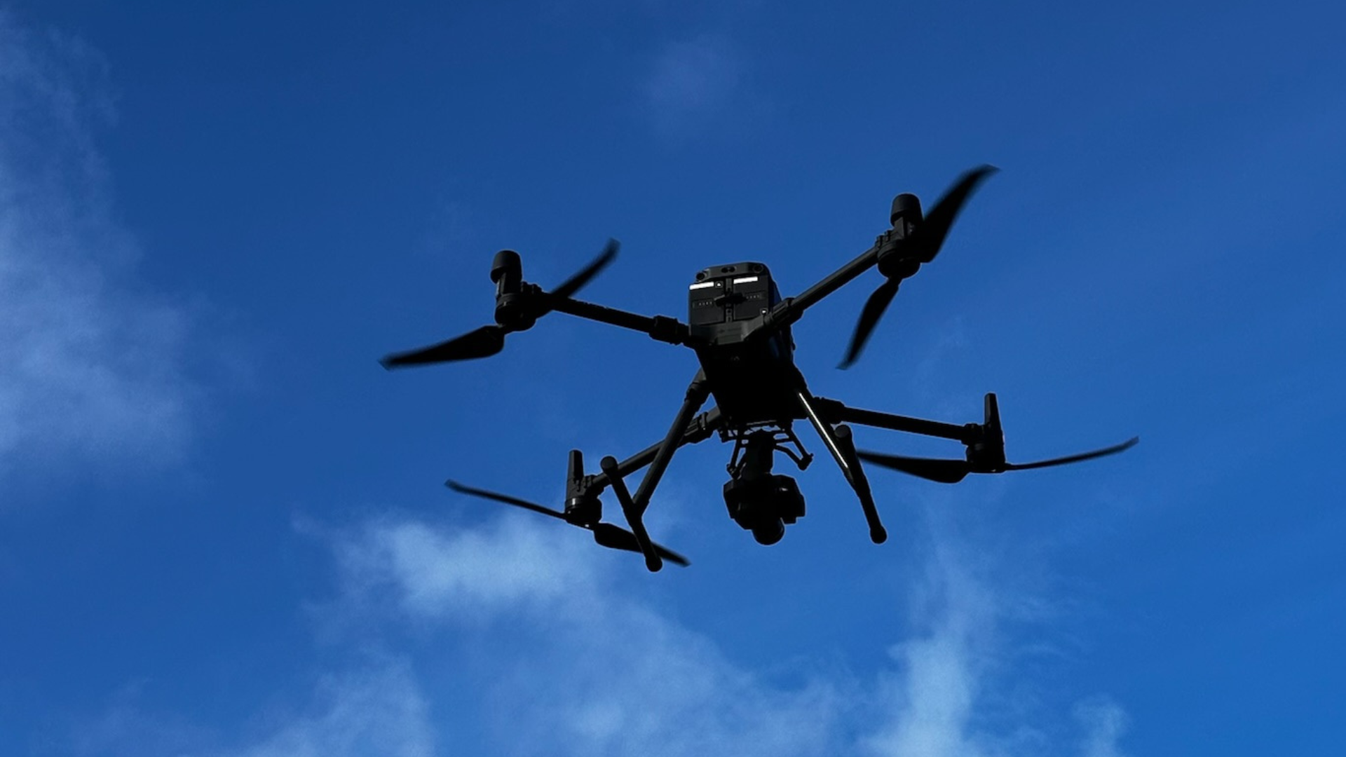
What are the different types of drone surveys?
Different types of drone surveys include visual surveys, photogrammetry, LiDAR, point clouds, mapping and volumetric surveys. The right option depends on the site and required outputs.